High storm energy threatens additional severe weather on Friday
An unstable environment across the Prairies and northwestern Ontario will bring another chance for severe thunderstorms on Friday
A multi-day severe weather risk will continue Friday as high instability and powerful upper-level winds combine over portions of the southern Prairies and northwestern Ontario.
This volatile setup could produce strong to severe thunderstorms across the region on Friday afternoon and heading into the overnight hours.
Folks from Regina to Thunder Bay should pay close attention to the radar and monitor local watches and warnings amid rapidly changing conditions.
DON’T MISS: Heat and storms linger as August starts Canada's slide out of summer
Friday: Storm threat expands into northwestern Ontario
We’ll see two main areas of activity across the Prairies during the day Friday.
The first will see a low-pressure system move south and stall over southern Saskatchewan, supporting thunderstorms across the region during the day.
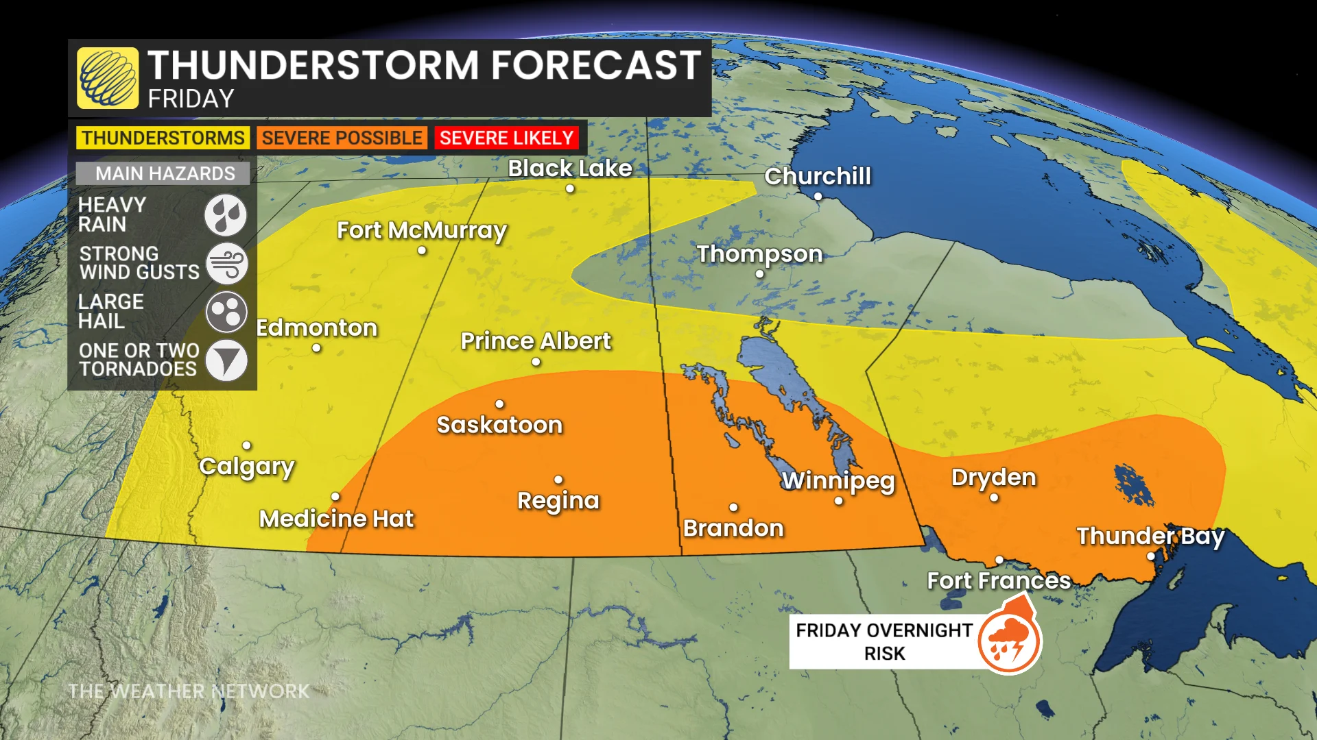
Another low-pressure system moving across the northern U.S. Plains will push high instability and wind shear into southern Manitoba during the latter half of the day on Friday.
Supercell thunderstorms are possible, which could include the risk for large hail, strong wind gusts, and heavy rainfall. A risk for an isolated tornado can’t be ruled out.
These storms could congeal into a mesoscale convective system (MCS) during the overnight hours Friday into early Saturday as they push east into northwestern Ontario.
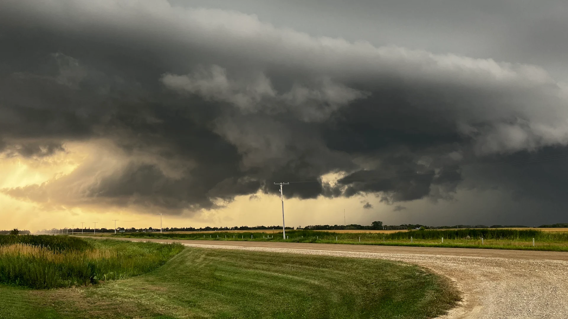
Header image submitted by Cindy Cairns.
Stay with The Weather Network for all the latest on conditions across the region.