Rainfall warnings continue to trample on Calgary’s parade
Flood remains a risk for southern Alberta, while Calgary has seen a higher-than-average amount of rain for June and July this season
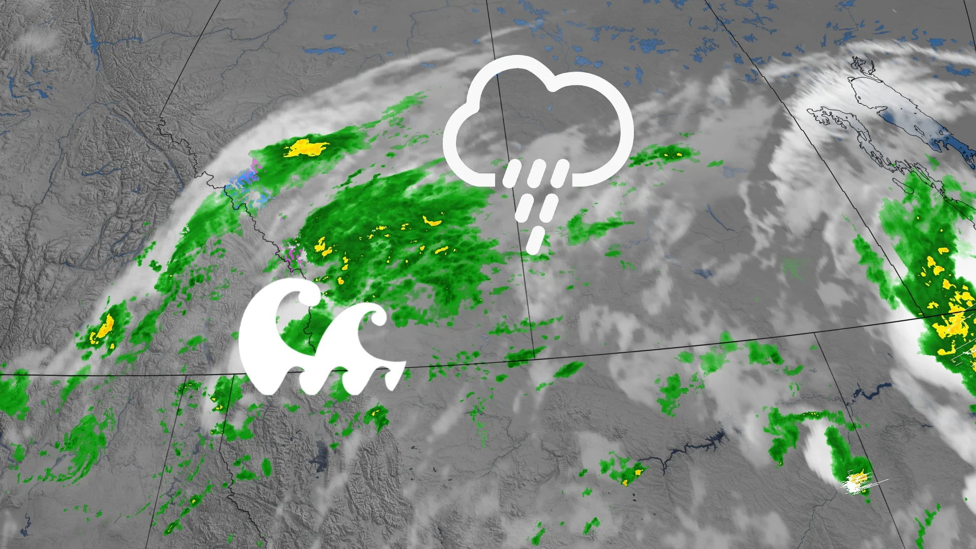
After multiple days of thunderstorms across parts of Alberta, a clear sky may be in sight.
The storm's risk has primarily shifted eastward and to the south as a high-pressure system descends from the north.
RELATED: Ingredients in play for northwestern Ontario severe storms on Tuesday
With an easterly wind pattern that’s capitalizing on the heavy Pacific moisture slowly departing, we're seeing widespread heavy rain in and around the Calgary area and foothills.

This pattern will see rain continue across central and southern Alberta through Tuesday, with below-normal temperatures around the high teens.

But the rain will come to a close Tuesday night, with Wednesday being mainly sunny and just a bit warmer in the low 20s.
A thunderstorm risk to the extreme south of the province and flooding on roads continue to be additional risks for residents, so remember to stay with us for updates.
Calgary has gotten more rain than usual
Tuesday’s heavy rainfall has added to a list of days that have made this a wet summer experience for Calgary this year.

So far as of July 21st, 105.5 mm of rain have been recorded at the airport, beating out the average of 65.7 mm.
And while these numbers may have you think it's been a soggy July in Calgary, that couldn’t be more from the truth. Since most of the rain has fallen on a few days, with only 4 days having more than 10 mm of rain.

But even with that, Calgary’s rainfall total for June and July was 208.2 mm or just over 30 mm of rain higher than the yearly average, so even if it hasn’t been a soggy summer, it’s been a wet one.