Coastal storm sparks uncertainty over Ontario’s long weekend
Ontario’s forecast over the next couple of days hinges on a complex setup developing over eastern North America
A coastal storm and a ridge of high pressure will team up to make for a complicated forecast heading into Ontario’s long Thanksgiving weekend.
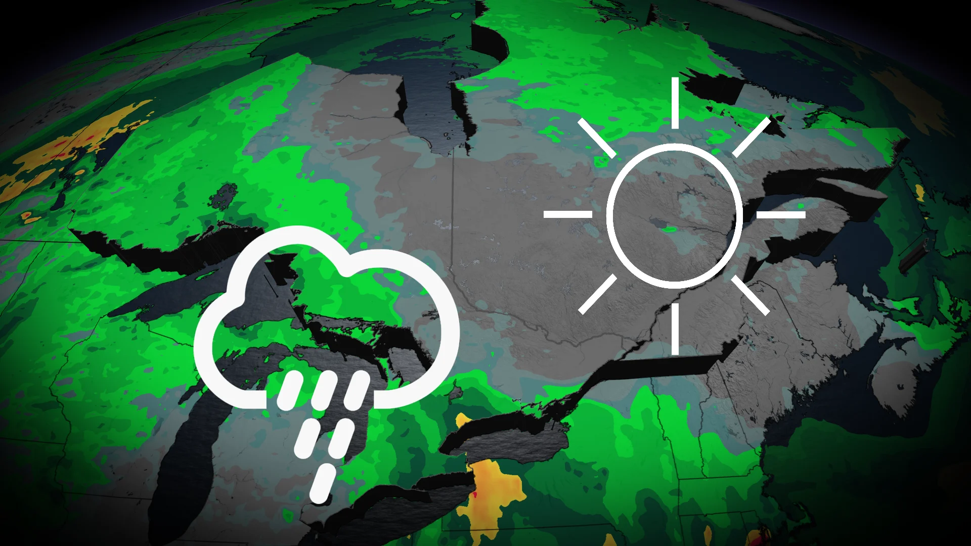
We’re looking at a little bit of sunshine, clouds, and precipitation over the next couple of days. Uncertainty builds on Sunday and Monday.
DON’T MISS: An abrupt transition to winter? Check out Canada’s winter sneak peek!
Two systems influence Ontario's weather
The weekend looks to start with an upper-level low meandering into the Great Lakes region through the overnight hours Friday into Saturday.

Folks across southern Ontario can expect on-and-off showers with the occasional sunny break in the clouds as the system moves through the region.
Things will get a little more complicated as we head into Sunday.

RELATED: How Rex blocks can affect Canada’s weather
That upper-level low will merge with another centre of low pressure developing off the eastern United States.
A ridge of high pressure over Quebec and the Maritimes will ‘trap’ the coastal storm in place, bringing an extended period of gusty winds and heavy rainfall to coastal communities from North Carolina to Massachusetts.
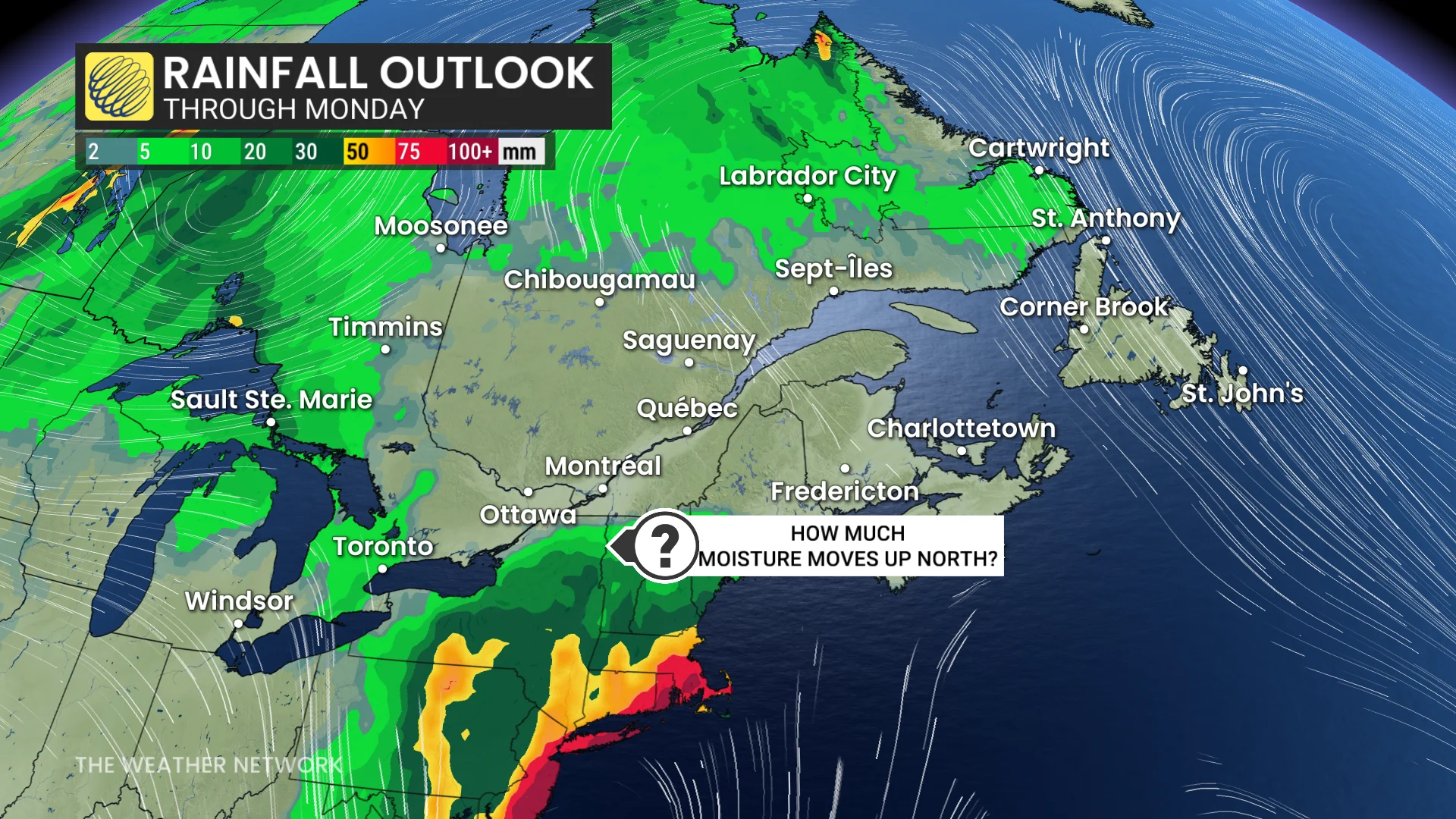
The outer edges of this coastal low could toss some showers into portions of southern and eastern Ontario on Sunday and into Monday. Showers could potentially reach as far as the Greater Toronto Area and the Niagara region. Not everyone will see rainfall from this system.
However, the lingering uncertainty remains in just how far west this storm’s influence will extend. A track any farther west would bring more unsettled conditions deeper into southern Ontario heading into the holiday.