-50ºC reading returns to Canada; here's where

As parts of Canada finally get a bit of a reprieve, one part of the country will be dealing with extreme cold with wind chills dropping to -60
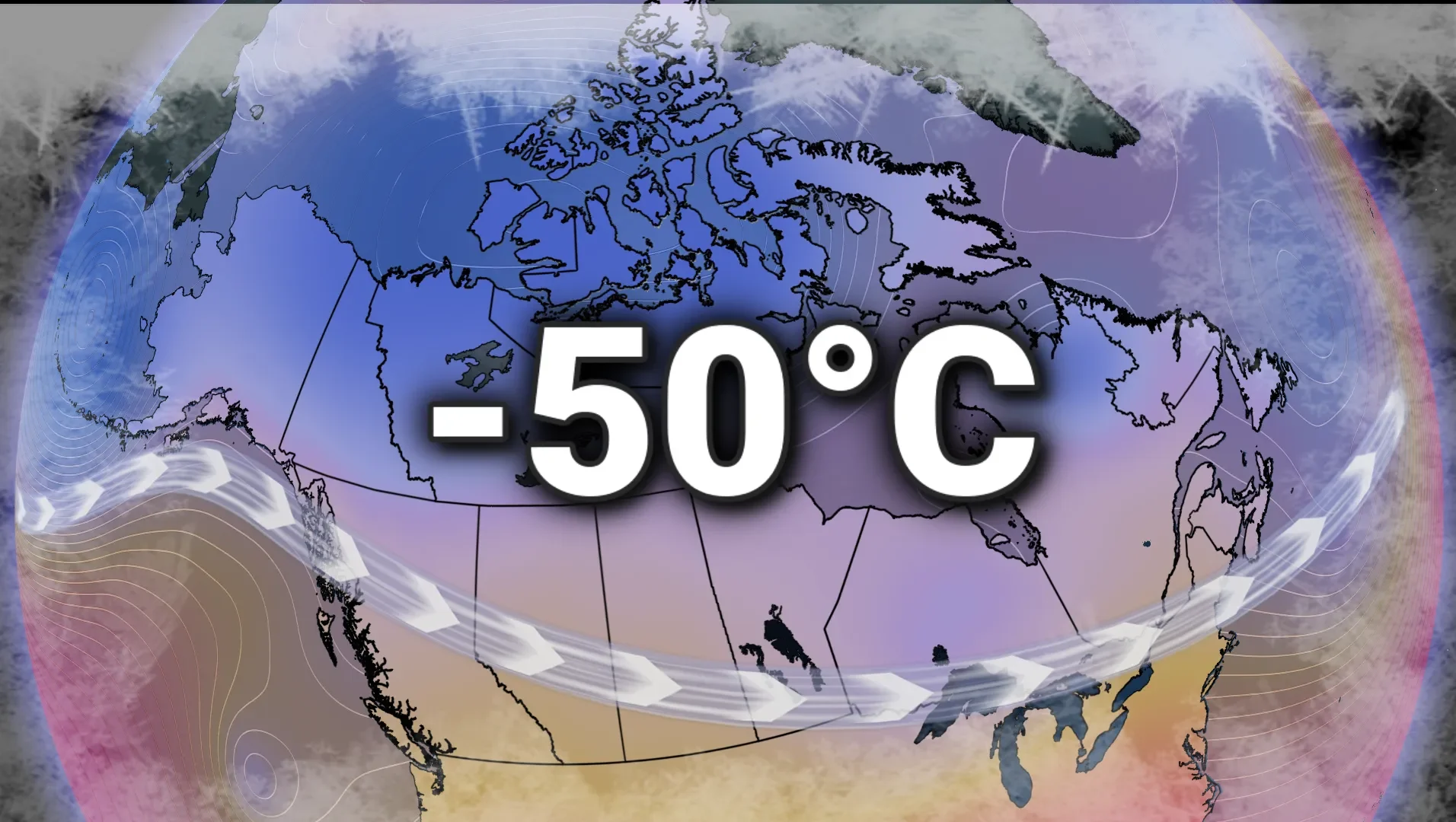
Canada is being reminded that winter is not over, yet.
This morning, temperatures in Thomsen River, N.W.T., dropped to -51.7ºC, triggering cold warnings for extreme cold and wind chill values of up to -60.
The frigid temperatures are expected to last until Wednesday, keeping residents bundled up against the bitter Arctic air.

Even as the north shivers, Southern Canada experiences more seasonable temperatures. This week, a zonal Pacific flow is bringing mild air across the South, giving most communities a break from the deep freeze.
DON'T MISS: Canada’s 2025-26 winter report card revealed. How did your region pass?
A polar vortex that won’t bite south
This cold snap is linked to a weak, elongated polar vortex over Northern Canada. Unlike previous events, this vortex will not travel south across the country.

Instead, it is receding toward the North Pole, trapping the Arctic regions in deep freeze while the South experiences a milder trend.
DON'T MISS: Sunset hack: How to tell the time using only your fingers
Bitter nights ahead in the North
The most extreme wind chills will occur between the evening and morning hours, making already freezing temperatures even colder.

Officials have encouraged residents in affected areas to limit their time outside, dress in layers and keep an eye on vulnerable neighbours. While Southern Canada may escape the Arctic blast, the North will bear the brunt of winter's return.