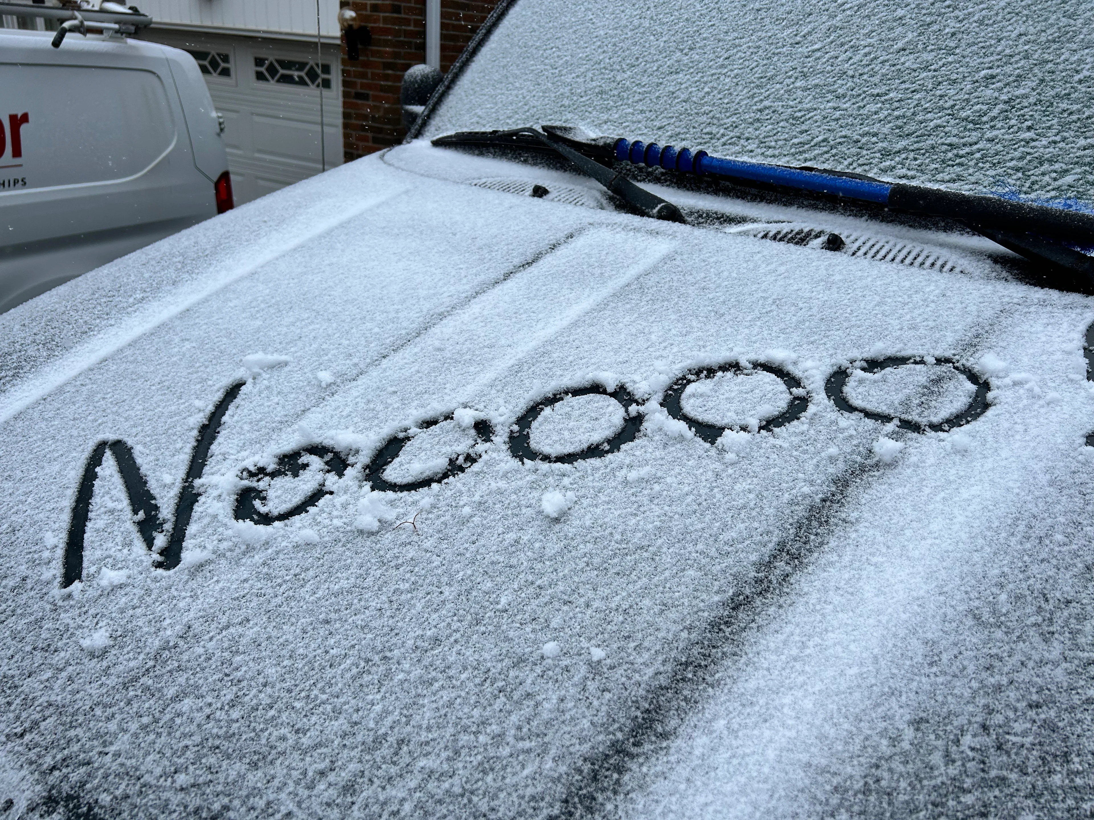
Canada officially welcomes fall with early signs of...snow?

Parts of Canada see snowfall chances and colder air as fall officially arrives
Fall has only just begun, but signs of winter are already making an appearance across parts of the country.
Iqaluit and Labrador City have reported their first snowfalls of the season, right on schedule with their historical averages—September 6 for Iqaluit and September 15 for Labrador City.
DON'T MISS: Three reasons why you could see an early-fall snow in Canada
Snowfall has also been reported at higher elevations in the Rockies and North Shore mountains, with freezing levels dropping to 1,500 metres in Jasper earlier this month.
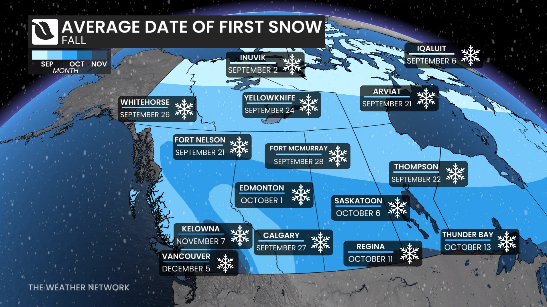
Another low pressure system this week may bring a renewed chance of flurries to lower elevations.
Rainfall for the Sunshine Coast, with signs of snow across Whistler, Banff and Jasper
Troughing over British Columbia and Alberta will lead to colder conditions starting Thursday.
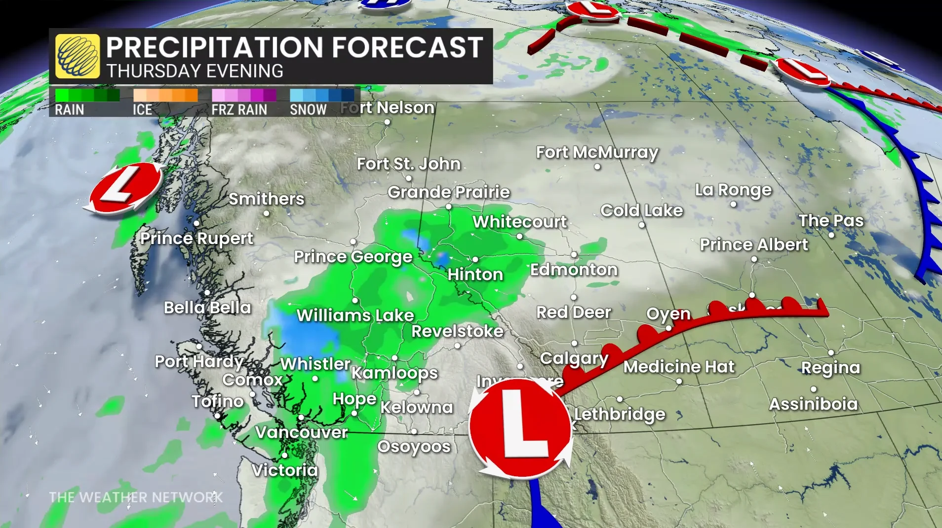
A developing low pressure system over Washington is expected to pull Pacific moisture into the region, delivering rain to the Sunshine Coast and a beneficial soaking for Vancouver, which has seen just 2.5 mm of rain this month compared to the monthly average of 51.9 mm.
Up to 20-30 mm of rainfall is expected for Vancouver by Saturday.
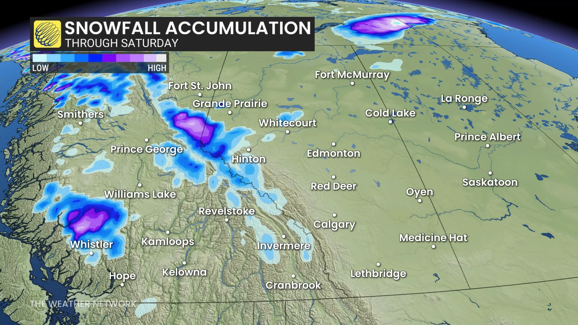
Freezing levels will drop to 1,500 metres across the North Shore mountains on Friday, possibly bringing Whistler its first snowfall of the season.
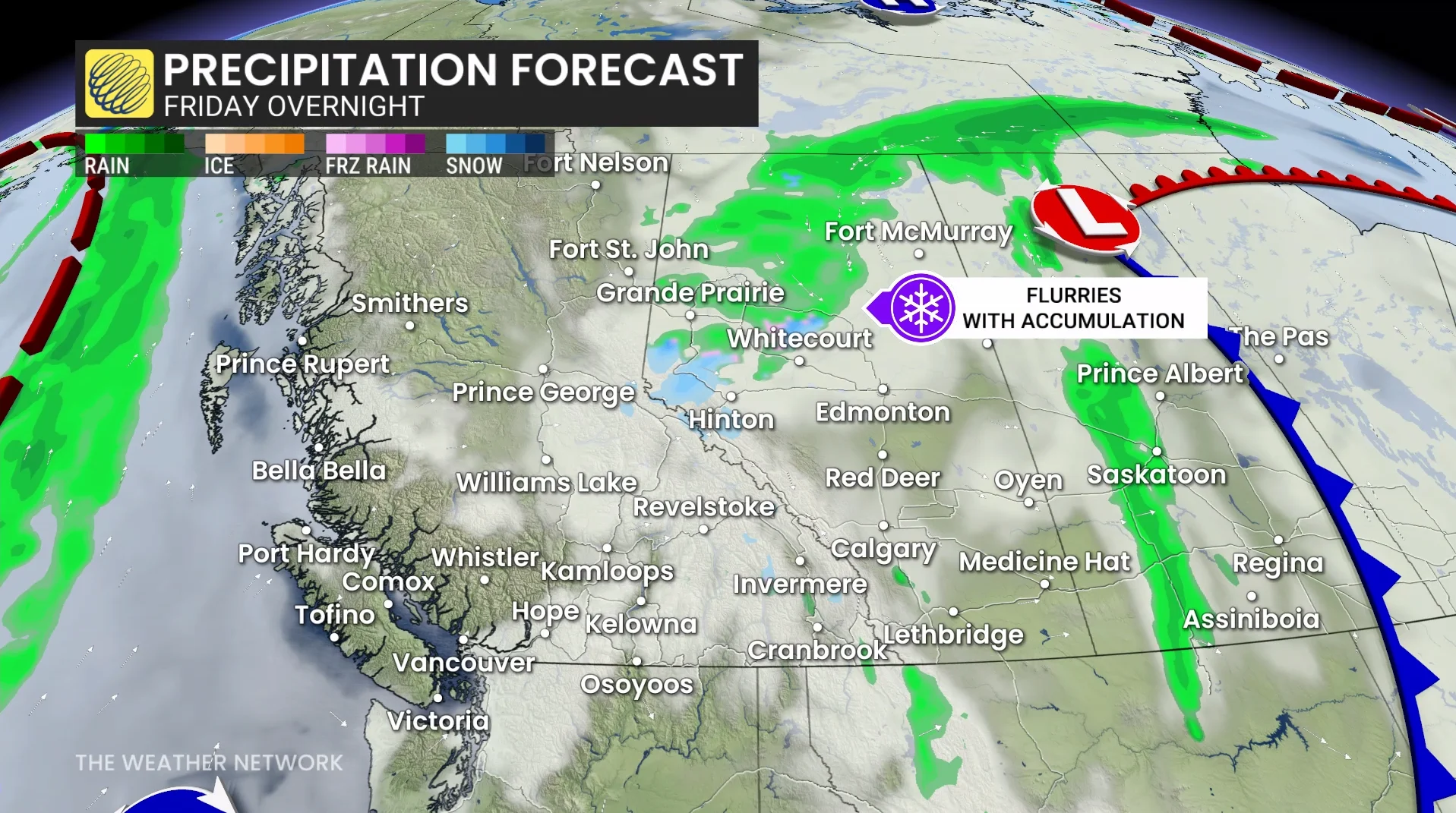
By Saturday, as the low pressure system moves into Alberta, Banff and Jasper may also see snowfall, with freezing levels falling below 2,000 metres.
Snowfall forecasts remain uncertain, and accumulation amounts may vary.
Stay tuned for updates as the week progresses.