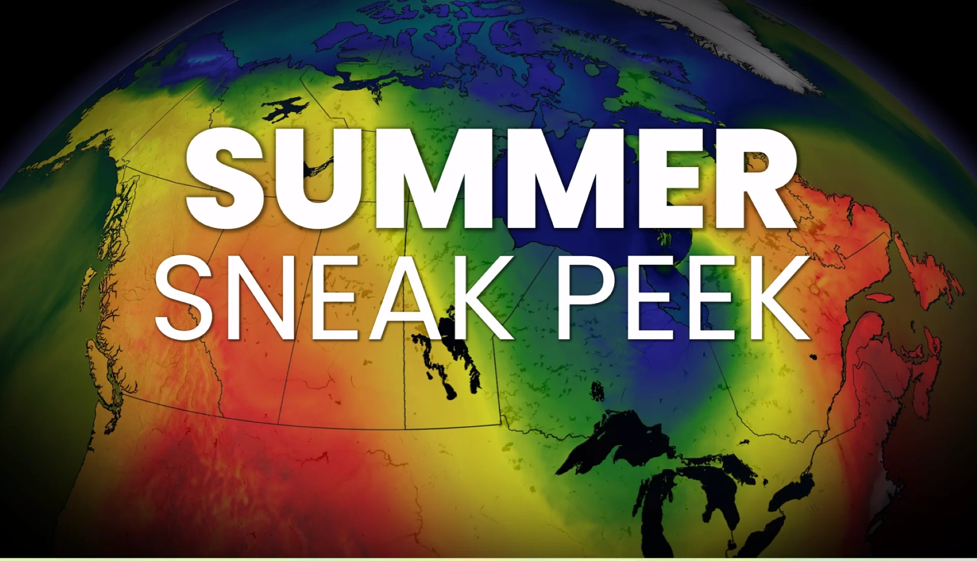
El Niño may split Canada’s summer in two

Canada's 2026 summer sneak peek is here, and it features a signal Canada isn’t expecting.
Most Canadians hear rumblings of El Niño and instinctively think endless summer warmth is on the horizon.
But the real story this year may not be about how hot Canada gets. It may be about where the heat fails to show up.
The strongest growing signal points to a warmer B.C. and Northern Canada, while a potentially cooler, more unsettled story brews east of the Rockies. In other words, Canada’s summer may once again split into two very different personalities.

Behind the scenes, the atmosphere is quietly loading the dice. A rapid acceleration from La Niña to El Niño is now beginning to shape the broader summer pattern across the country.
And while local details will remain fuzzy for a while longer, that background signal is strengthening, increasing confidence in the broad themes likely to define the season ahead.
El Niño is rapidly strengthening
As meteorologists, we look at analog years that match this upcoming summer the closest. The years 2023 and 2015 now stand out as the clearest El Niño summers to compare against.

So, what kind of summer personality will actually show up?
The atmosphere is forecast to resemble the El Niño summers of 2023 and 2015, while still leaving room for a cooler 2009-style outcome.
Scenario No. 1: The 2023 coastal warmth
Warmth focused in the West and across Atlantic Canada
Cooler temperature anomalies develop in Central Canada in July and August

Scenario No. 2: The 2015-style path
The strongest El Niño analog keeps:
Warmth focused in the West
Cooler tendencies farther east
A better Atlantic-Pacific sea surface temperature match

Scenario No. 3: The 2009 cautionary path
This is the bummer-summer scenario for Central Canada:
Persistent troughing
Cooler on the Prairies, and in Ontario and Quebec
Frequent unsettled stretches
B.C. still manages notable, extreme heat

El Niño 2026?
Right now, all dynamic models continue to support at least a moderate El Niño through summer, with a very real chance that this event crosses into strong territory.

(NOAA)
From here, the country begins to divide into the highest-confidence forecast zones. Although there is still some uncertainty on the heart of summer, the late-spring and early-summer pattern is coming into sharper focus by the day.

The early-season summer pattern offers the first clues to summer’s broader themes: Warmth favoured in the West and North, a cooler and more unsettled start in the East. As the Atlantic Ocean continues to warm, the trough is expected to retreat westward through summer. The central question becomes how far west it shifts, and whether it stays centred near the Great Lakes and/or broadens farther west.
The West and North
British Columbia, Yukon, and the Northwest Territories stand out as the strongest warmth signal in the country. That naturally raises concern for:
Drought
Early heat
Elevated wildfire risk

East of the Rockies
Confidence drops when it comes to where the coolest pocket sets up. The biggest uncertainty is whether the trough-heavy pattern focuses:
Over the Prairies
Across the Great Lakes
How far west does the trough pull throughout the summer

The most likely place to miss out on summer’s biggest heat may be the middle of the country.
What to look for in the months ahead
How quickly El Niño strengthens: Will it approach 2015 levels?
Where the summer trough anchors
Great Lakes versus Prairies
Early B.C. heat and wildfire starts, including wildfire smoke impacts

So, as the summer signal continues to evolve, the atmosphere should begin to reveal which path Canada is truly taking.
The most important question remains not where the heat builds, but where it fails to lock into place.
This is only the first glimpse of summer’s evolving story, with the clearest answers still to come in our official Summer Forecast release on May 27.