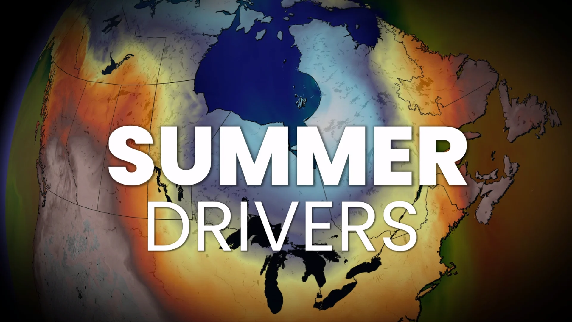
Who gets the best of summer? The drivers behind Canada’s forecast

Summer is coming! We break down the key factors that will influence Canada's summer weather for the 2026 season.
We’re accelerating towards summer 2026, Canada, and it might be a good time to read our sneak peek forecast before diving into this deeper look at what's driving the forecast.
Summer 2026 won’t be decided by one signal, but by a handful of atmospheric drivers, and there are early signs these forces are already taking control.
The forecast foundation: El Niño resetting the atmosphere
This key driver can’t be ignored because it influences many of the drivers below. The well-advertised, rapid acceleration from La Niña to El Niño is our climate reset that will anchor the summer pattern.

The warmer, tropical Pacific waters have a tendency to shift the jet stream globally, as weakened trade winds allow warmer water to shift eastward along the equator. Warm water is building beneath the surface in the Central and Eastern Pacific, supporting further strengthening as the main thunderstorm zone shifts eastward from Indonesia.
With sea-surface temperatures running above normal across many ocean basins, El Niño’s influence works through contrasts, meaning its signal may be less clean and more influenced by other drivers.
In other words, El Niño sets the stage, but it won’t be acting alone.
The main driver: Where the summer trough sets up
This is a big one and a pivotal angle in the split summer scenario across Canada. The summer trough will essentially determine who gets heat and who remains cooler and more unsettled.

The most likely evolution begins with the trough lingering farther east into early summer, before gradually shifting west as Atlantic sea surface temperatures warm.
But, how far west remains a critically important question as a fork in the forecasting road develops.
Great Lakes anchored trough?
Prairie-shifted trough?
A broader trough dominating Central Canada?
The answer is likely all of the above at times, as the trough becomes a transient feature we’ll be keeping an eye on all summer long.
The global connection: Western Pacific typhoon activity
Typhoon Sinlaku became a rare April super Typhoon, something not documented since Typhoon Malakas in 2022. It may offer an early hint at the pattern we could see this season.

During a developing El Niño, convection shifts into the Central Pacific, pushing storm formation farther east. This often gives typhoons more time over open water, and increases the likelihood of storms recurving toward Japan and the open Pacific.
That matters because recurving typhoons can feed energy into the jet stream and launch a wave eastward, creating ripple effects thousands of kilometres downstream.
Over North America, those waves can reinforce a ridge in the West and deepen a downstream trough, reinforcing the summer pattern across Canada--and yes–-even shift the trough east.
Not every typhoon will be a recurving typhoon, but it’s a wild card that must be watched closely.

Other factors or wild cards

Southeast U.S. drought feedback and ridge influence
The dry soils intensify heat and can reinforce ridging, leading to even more suppressed rainfall
This can influence the southeastern ridge, a key steering feature we’ll be watching for during the summer months

Atlantic sea surface temperatures
Warmer water temperatures can work to enhance the southeast ridge
Encourage the trough to move west
Influence storm tracks and overall moisture supply

Putting all this together, this summer won’t lean on a single driver, but on how multiple factors interact to shape the pattern.
Check back with us on May 27 as we release our official Summer Forecast. We will fine-tune the details and reveal what to expect for the season ahead.