Blustery, wet conditions will sweep across Ontario, raising power outage risk
A wet and windy start to the work week in southern Ontario as a cold front approaches, potentially bringing tricky travel and localized power outages
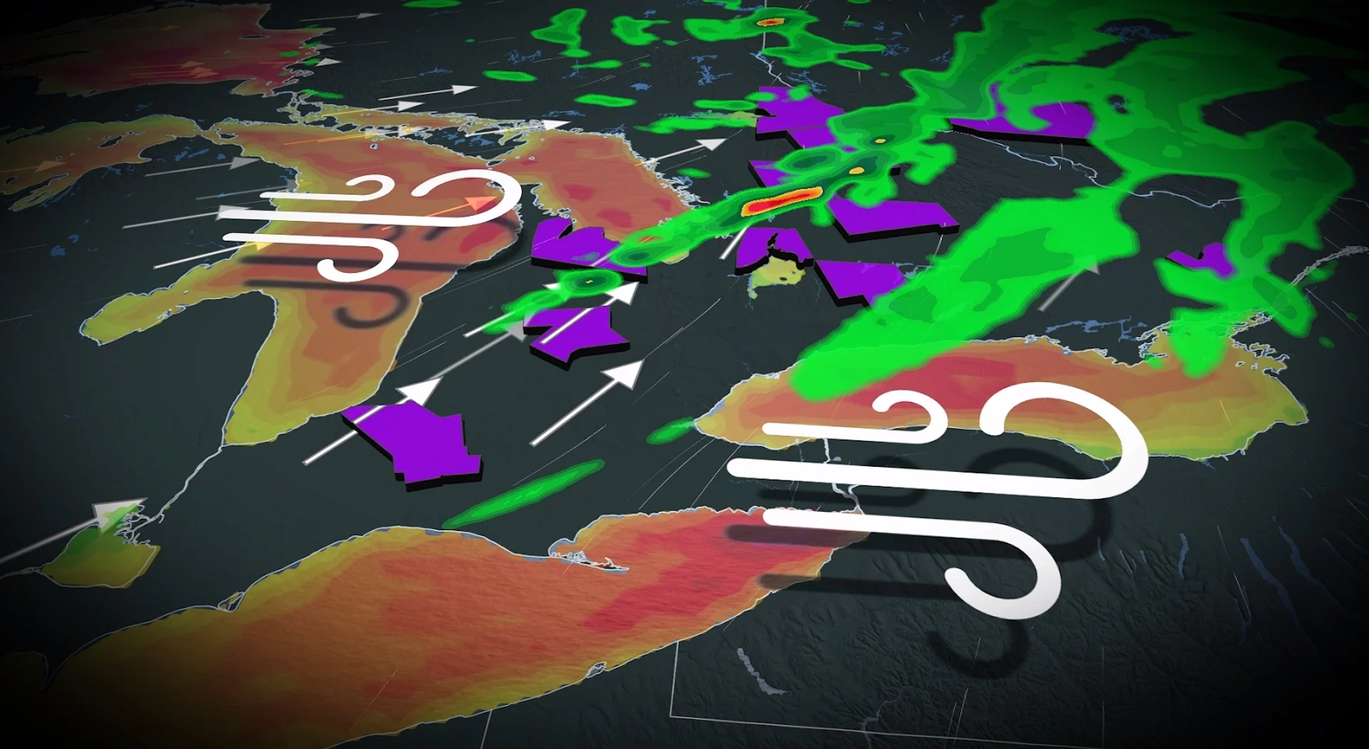
A low that has a history of producing wind gusts up to 90 km/h across the Prairie provinces is on its way to Ontario, making for a chilly and windy first weekday in November for the province.
With some wind gusts near the lake shores expected to rival those on the Prairies as the low lifts across Ontario, folks should brace for localized power outages and tricky travel on the roads. Peak gusts forecast through Monday morning include 80+ km/h in northwestern Ontario and 70+ km/h in southern Ontario.
RELATED: Are you ready for 'Snow'vember? Snowfall threat looms over Canada

As well, expect temperatures to drop behind a cold front, along with some lake-effect showers for the Great Lakes region.
Monday: Howling wind gusts could cut power in some locales
The first weekday of November features a low sweeping across northern Ontario, with a long, trailing cold front that will cross southern Ontario through the afternoon and evening hours.

The low tracks well north, but the southwesterly winds will be breezy along Lake Huron, Georgian Bay, Lake Erie and Lake Ontario through Monday morning.
DON'T MISS: Winter-proof your home with a heat pump that even works in -30°C
Sustained winds briefly hit close to 50 km/h along exposed shorelines, with gusts up to 80 km/h for regions downwind.

Prince Edward County, Coburg, Bruce Peninsula, Niagara region and the Lake Erie shoreline have the highest risk of gusting higher than 80 km/h.
This system follows the 20-50+ mm of rainfall that drenched cottage country and eastern Ontario to wrap October, chipping away at drought conditions.

As well, lake-effect showers stream off Georgian Bay behind the frontal system as temperatures fall into the mid-single digits. With some enhanced showers off Georgian Bay, more than 20 mm of precipitation is forecast for the region.
Little to no rainfall is forecast for the bulk of the Greater Toronto Area (GTA), however, as this will be primarily a wind story.
Impacts include large waves, trickier drives with strong winds and localized power outages
Stay tuned to The Weather Network for the latest forecast updates for Ontario.