Blocking pattern to dictate Canada’s weather into next week
An atmospheric traffic jam will lead to weather déjà vu over the next week or so
If you’re a fan of the same weather day in and day out, you’ll probably love the next week.
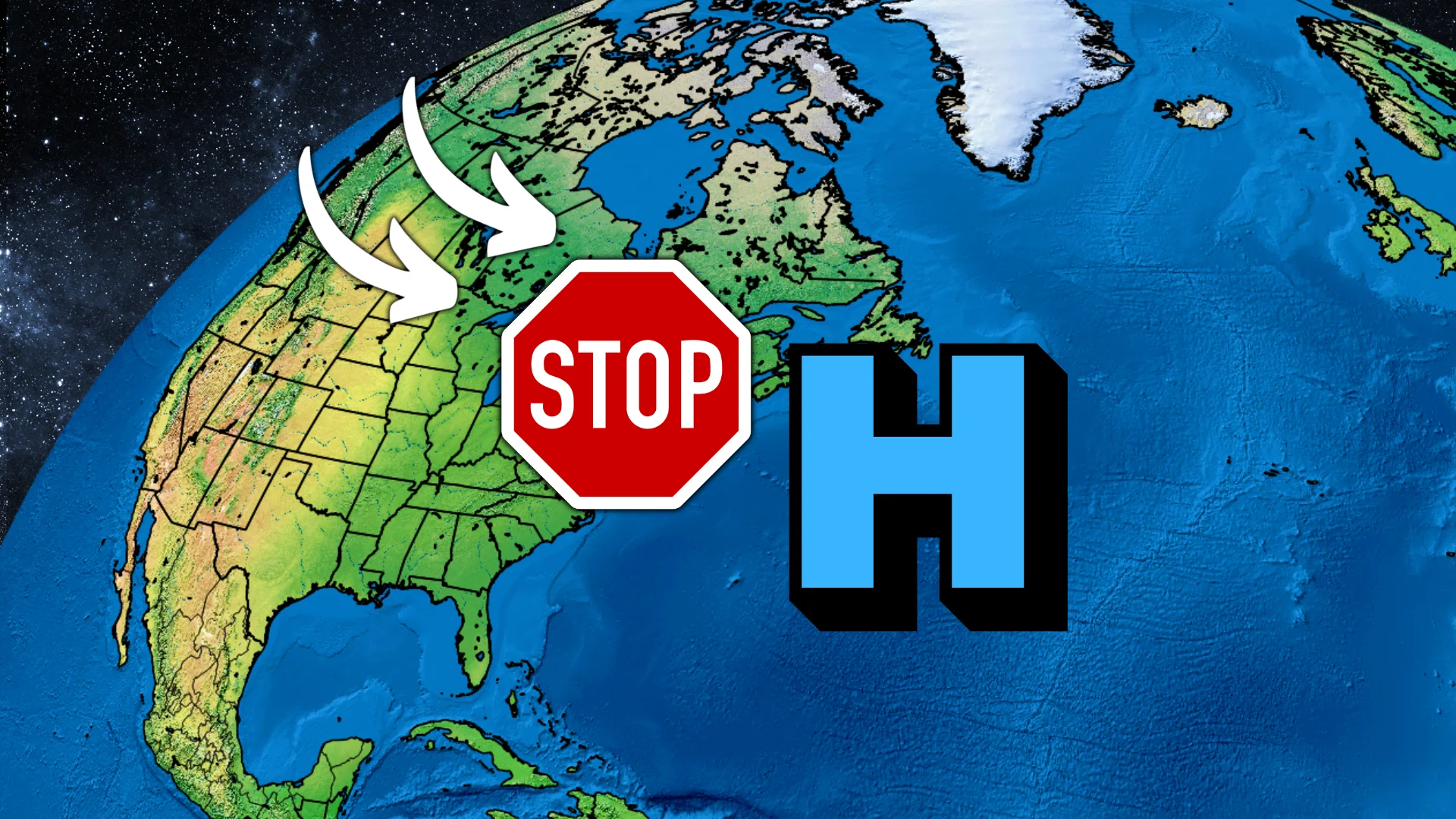
A blocking pattern developing over North America and the Atlantic Ocean will grind the movement of weather systems across Canada to a halt.
Some communities will enjoy summer-like temperatures, while others contend with rounds of rain and cooler conditions.
SIGNS OF SUMMER: Canada’s May outlook provides hope for warmth
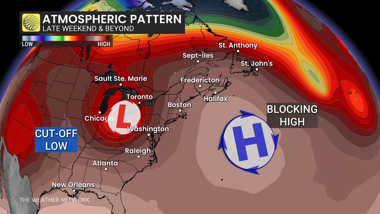
A strong centre of high pressure developing over the Atlantic Ocean late this weekend will dictate Canada’s weather for the next five to seven days.
This high will block the typical west-to-east movement of storms by this weekend and into next week, effectively putting the brakes on upper-level systems moving across North America.
What does this mean for your neck of the woods?
We’ll see an area of low pressure become cut off from the upper-level flow, forcing the system to stall over the Great Lakes region. This will keep conditions over much of southern Ontario on the cooler side, with below-seasonal temperatures accompanying several rounds of rain.
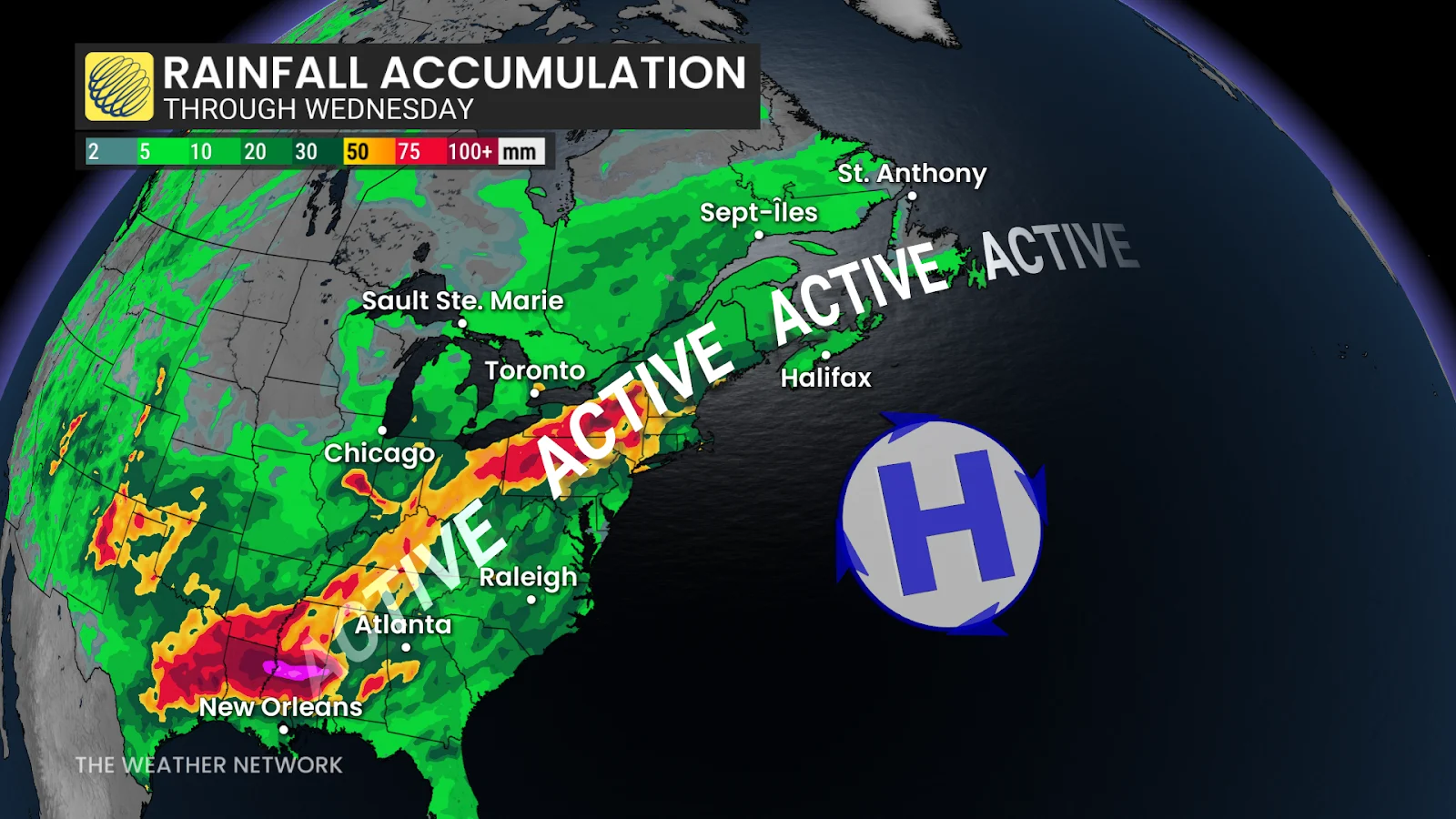
Rounds of showers will also affect Quebec and Atlantic Canada at times as moisture rides around the periphery of the high-pressure system over the Atlantic.
Things will feel a bit summery farther west. Forecasters expect a ridge of high pressure to develop over the Prairies by next week, bringing a good chance for warmer and drier weather with several days of temperatures in the 20s.
Stay with The Weather Network for all the latest on conditions across Canada.