Blizzard conditions possible as nor’easter aims for East Coast
The system could bring heavy snow and high winds to a wide swath of the East Coast through the beginning of next week
All eyes in Atlantic Canada are on the next nor’easter aiming for the region late this weekend.
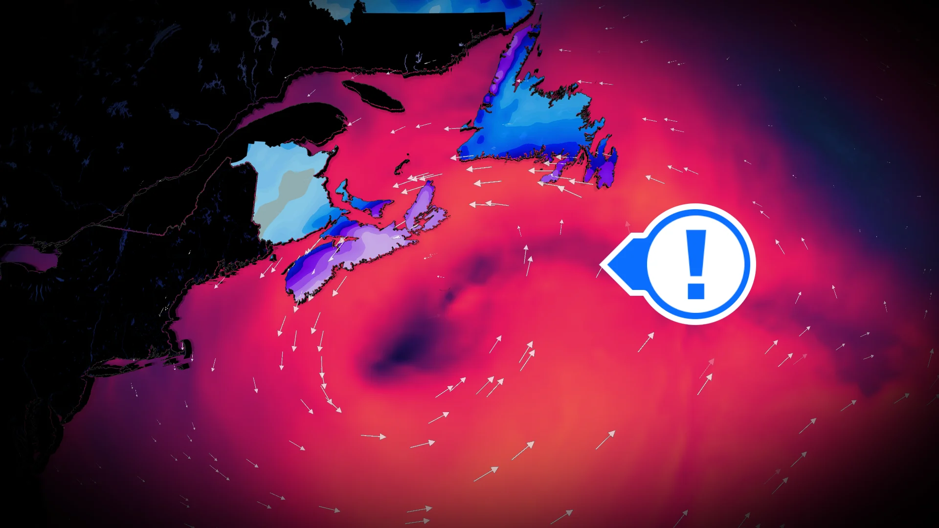
A powerful low-pressure system developing near the Carolinas will track toward Atlantic Canada on Sunday, threatening heavy snowfall and high winds through Monday and into Tuesday morning. There still remains some uncertainty in the storm's track.
Blizzard conditions are possible in some areas. Travel delays and closures are likely across communities that experience the heavy snowfall and powerful winds.
DON’T MISS: Science behind the weather: The infamous nor'easter
Powerful system developing stateside
All the ingredients are coming together for a strong low-pressure system to develop off the U.S. East Coast this weekend. Frigid Arctic air is locked in place across Eastern Canada, while a steady stream of moisture from the south will fuel the rapidly developing storm. The system may meet weather bomb criteria.
Portions of the Carolinas could see their highest snowfall totals in eight years as this system develops. Weekend flight cancellations are likely in Charlotte and Boston.

While some uncertainty remains surrounding the storm’s exact track, forecast confidence is increasing that there’s a higher likelihood for a very heavy snowfall event with strong winds in the southern Maritimes and Newfoundland.
Impacts will begin in Nova Scotia, Prince Edward Island, and New Brunswick late in the afternoon or evening hours on Sunday.

RELATED: What turns a snowstorm into a raging blizzard?
Snowfall rates and wind gusts will both intensify as the storm approaches the coast overnight.
Rates of 2-3 cm per hour, combined with 60-90 km/h wind gusts, will likely create whiteout and blizzard-like conditions.

Expect the storm’s disruptions to continue into Monday as the snow and wind move into Newfoundland.
Dangerous winter travel is expected with whiteouts and rapidly accumulating snow. School closures are likely.

Snowfall totals may range from 20 to more than 30 cm in the hardest-hit regions, which appear to include Nova Scotia and Newfoundland at this time. The precise track of this storm will affect where the heaviest snowfall totals occur.