B.C. alpine regions welcome snow, but will impact travel, raise avalanche risk
No rest for B.C. as another round of significant alpine snow is coming, likely to result in hazardous winter highway pass travel on Thursday and a raised avalanche threat
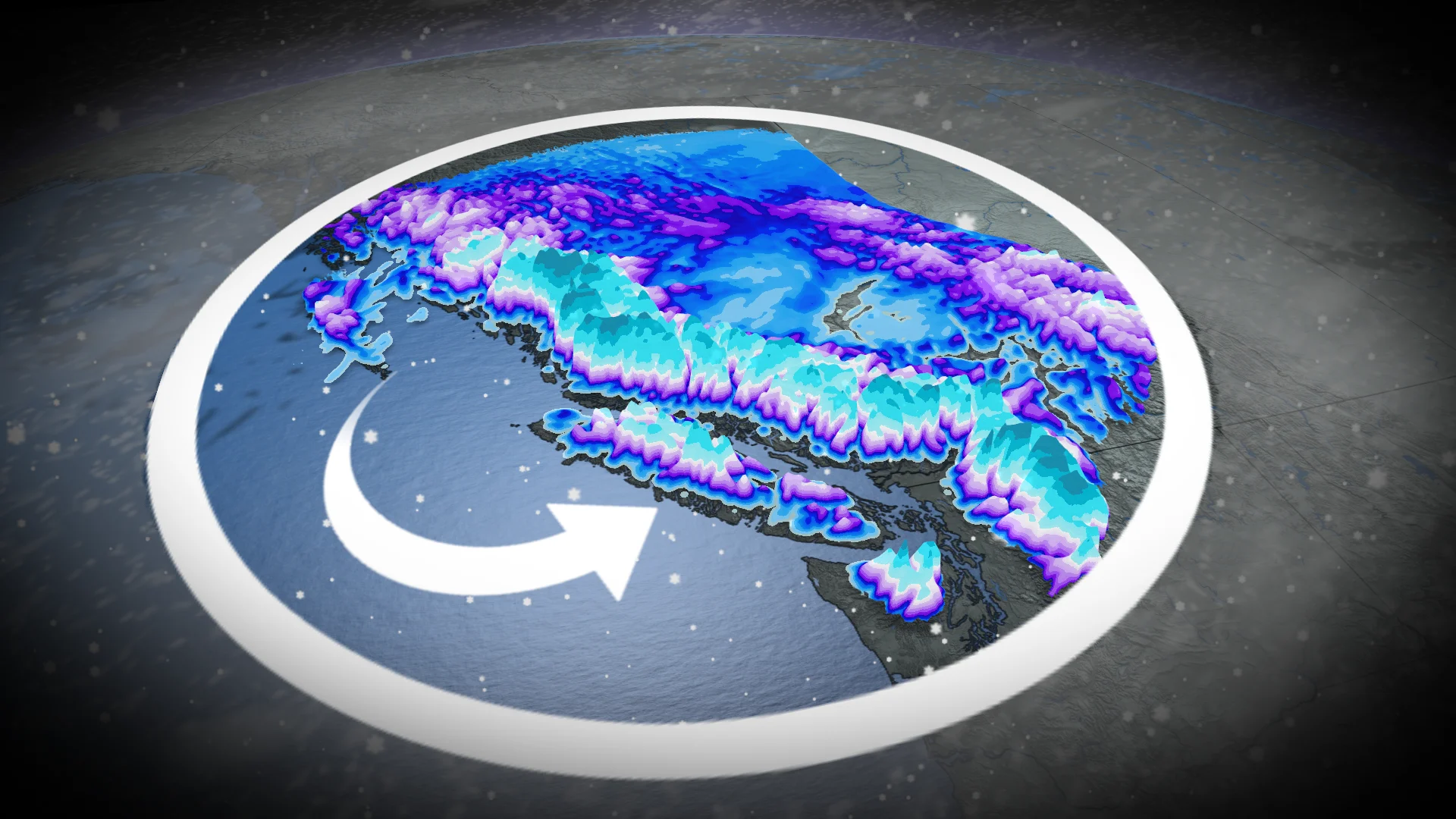
Another surge of moisture is headed to the flood-threatened B.C. this week, but this time colder air aloft will change the rain to snow for alpine regions--even reaching the higher terrain of the North Shore Mountains.
Some of the mountain passes could see 30-50 cm of snow through Friday. Motorists should check for updates before travelling as road conditions will be poor and difficult to navigate.
DON'T MISS: New database tracks every Canadian avalanche fatality since 1782
In addition, avalanche risks are elevated. Travel in avalanche terrain is not advised in the coming days.
Avalanche risk raised with new bout of alpine snow
A major pattern shift in B.C. is taking place. From record-December warmth to flooding earlier this week, to a sharp cooldown and significant alpine snow.

RELATED: Evacuation orders downgraded in Abbotsford; rain, wind warnings persist in B.C.
Tuesday saw winter storm and snowfall warnings issued in the highway passes. The incoming storm’s cold front will bring a sharp cooldown, with freezing levels to fall below 1000 m for the rest of the week.
More alpine and highway pass snowfall is possible by Thursday with the next round of moisture and colder air in place.

Heavy highway pass snowfall may bring winter travel concerns Coquihalla, Allison and Rogers passes once again.
This week, alpine snow could exceed 50 cm for Whistler and Coast Mountains, and reach 30-50 cm for the Vancouver Island, Kootenays and Columbia Mountain ranges. There will be a chance for North Shore Mountain snow, too, especially this weekend, but there is still some uncertainty.
As a result expect travel to be challenging. Road closures are possible. Weather in the mountains can change suddenly resulting in hazardous driving conditions.

As well, unstable alpine snow means a higher-than-normal avalanche danger.
Active pattern continues through Christmas week
Ski areas will receive desperately needed snow on Thursday as freezing levels drop below 1000 metres. That will also highly impact travel through mountain passes. Heavy snow will also continue for the Rockies and Kootenays.
An active pattern is expected during Christmas week, meaning it will be rather soggy for the South Coast region, but we will have to closely monitor temperatures as we could have a risk for messy or wintry precipitation into lower elevations.