
Alberta clipper brings spring snowstorm to Manitoba, closes several schools
Manitoba's stubborn winter, already overextending its stay, flared up again on Wednesday.
An Alberta clipper brought heavy snow to central and southern areas of the province late Tuesday and into Wednesday.
Environment and Climate Change Canada has issued snowfall and snow squall warnings for several areas of the province.
DON'T MISS: Canada’s snow season turns historic as multiple cities top 500 cm
Thick, wet flakes blanketed Winnipeg on Wednesday morning as a line of intense snowfall swept across the Red River Valley.
The storm is expected to be relatively brief but with very heavy snowfall rates — as much as five centimetres in one hour — with near-zero visibility at times, according to Environment Canada.

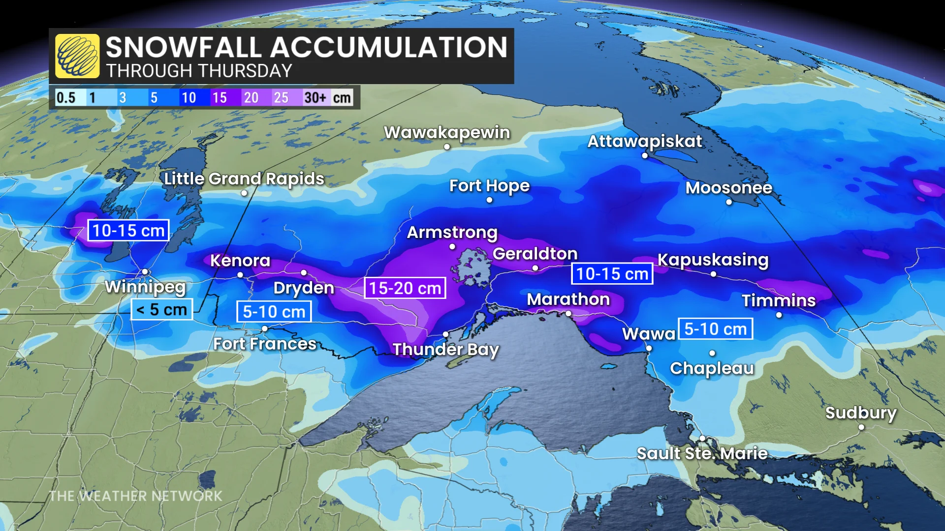
Near-zero visibility at times is expected as heavy snow passes through southern Manitoba on Wednesday. (Darren Bernhardt/CBC)
Up to 15 centimetres is expected across most of southern Manitoba on Wednesday, on top the amounts that fell Tuesday.
The hardest-hit area has been the Parkland region in the west, between Lake Manitoba/Lake Winnipegosis and the Saskatchewan border, said Environment Canada meteorologist Danielle Desjardins.
The community of Durban, northwest of Duck Mountain Provincial Park, had recorded 13 centimetres as of 8 a.m. with more to come.
Other amounts include nine centimetres in Portage la Prairie, 10 cm in Argyle, eight centimetres in High Bluff (just northeast of Portage la Prairie), and five centimetres in both Winnipeg and Steinbach.
Areas in the Interlake region also saw extreme conditions at times. Lisa Teel can attest to that.
She was driving to the Winnipeg Beach area around 6:45 a.m. and described the Highway 9 experience as “pretty treacherous” with “very little visibility, very thick snow [and] icy underneath.”
Teel, who was heading home after a night shift in Selkirk, said there were whiteout conditions at times where she couldn't see the ditch or any oncoming vehicles “until they were probably about 12 feet away.”
She said she slowed down significantly and even pulled over at one point and put her hazard lights on.
RELATED: It’s not just 7 C: The real rules for switching your tires
The drive is usually about 35 minutes but it took twice as long Wednesday, she said.
Some highways are closed in the Dauphin area and west of Riding Mountain around Roblin and Russell, while others in the south are listed by the provincial government's highway conditions site as being partly covered.
The system is expected to move out of the Red River Valley later in the morning while it will linger in western Manitoba until the afternoon and into the evening in the east.
All that white will quickly become water in the next day or so as temperatures are expected to climb toward double-digit highs by the weekend.
Due to the weather and road conditions, all schools are closed in the following divisions:
Border Land.
Evergreen.
Hanover.
Interlake.
Lakeshore.
Lord Selkirk.
Mountain View.
Prairie Rose.
Red River Valley.
Seine River.
Swan Valley.
The Franco-Manitoban School Division has cancelled classes for the day at the following schools:
Aurèle Lemoine (St. Laurent).
Plaine Days (Laurier).
Saint-Georges.
Lagimodière (Lorette).
Pointe des Chênes (Ste. Anne).
Saint-Jean-Baptiste.
Sainte-Agathe.
Saint-Joachim (La Broquerie).
Réal-Bérard (St-Pierre-Jolys).
Gabrielle-Roy (Île-des-Chênes).
WATCH: Canada's strange snowfall season: A record-breaking winter
This article, written by Darren Bernhardt, was originally published for CBC News.