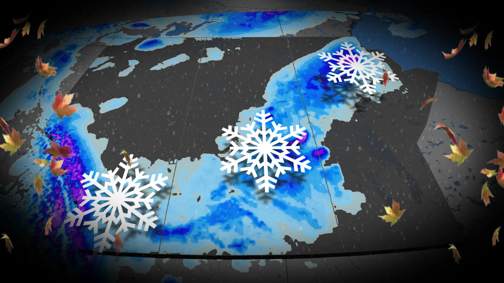
Accumulating snow, gusty winds expected on the Prairies this weekend
Get ready for a fall snowfall across portions of the Prairies this weekend
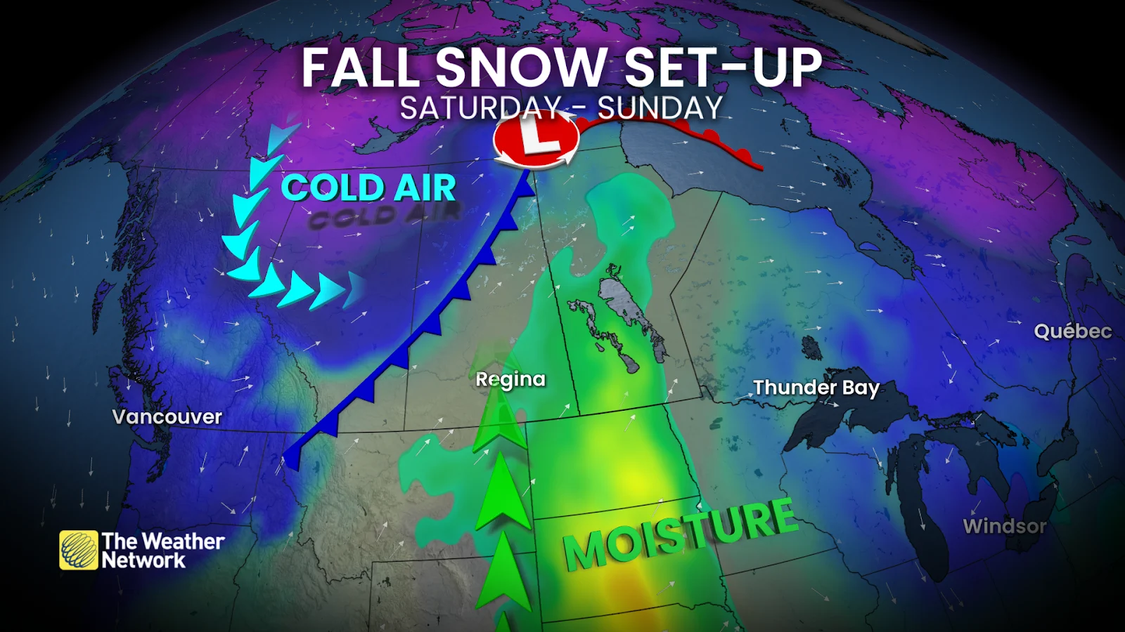
A swift pattern change sweeping across the Prairies will arrive with gusty winds and a dose of snowfall for some areas this weekend.
We’re watching a moisture-laden system moving in from the south while a cold front slides in from the north—a classic recipe for early-season flakes.
There’s still some uncertainty surrounding the timing of the snow and potential amounts. Travel could prove difficult in spots.
DON’T MISS: An abrupt transition to winter? Check out Canada’s winter sneak peek!
Cold front crashes across the Prairies on Saturday and Sunday
Alberta is first in line to experience the rapid temperature drop on Saturday as our cold front moves through the province. Temperatures are on track to fall as much as 15 degrees in Edmonton and Calgary.
Snow across the Rockies will slowly creep toward lower elevations during the overnight hours. Exact accumulations are uncertain at this time, but it appears eastern portions of Alberta will see more flurries while accumulation remains confined to parts of the foothills.
The low-pressure system south of the border will move into Saskatchewan through the day Sunday, bringing widespread showers to the region.
Precipitation in Saskatchewan will slowly change over to snow as the cold front catches up with our storm. This will be a wet snow due to the amount of moisture in the atmosphere.

The timing of the cold front is crucial to the amount of snow that falls. Some computer models have the cold air arriving faster than other models. A faster arrival would lead to a longer-duration snowfall with higher accumulations possible.
A tight air pressure gradient will develop between the low to the south and the cold front arriving from the north, leading to a period of gusty winds across southern sections of Saskatchewan and Manitoba beginning Sunday evening and lasting into Monday morning.
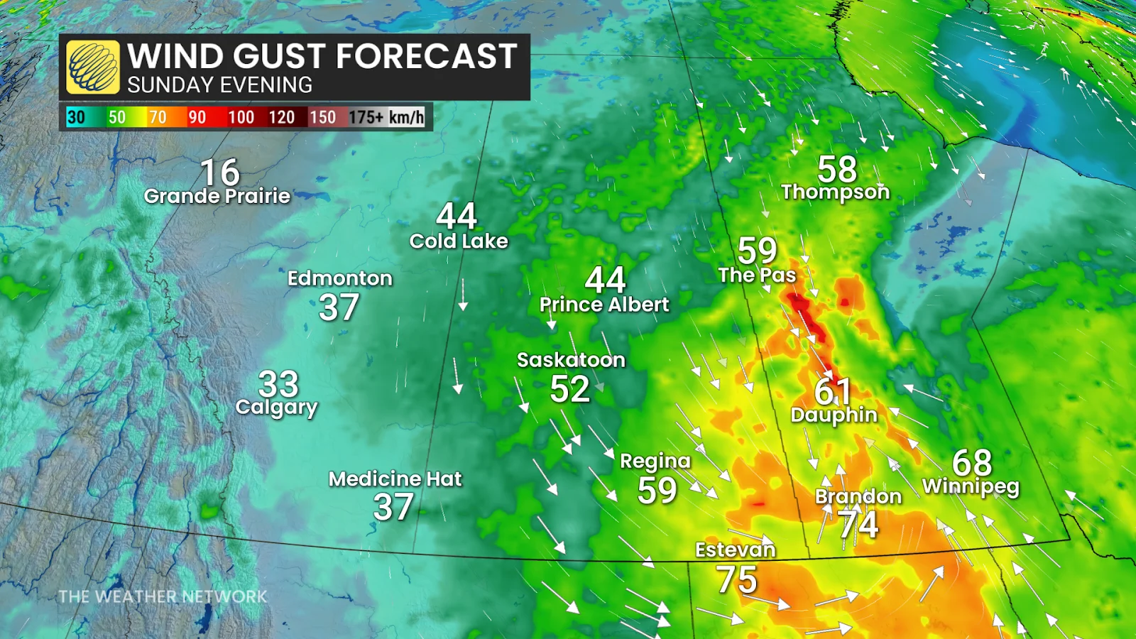
Wind gusts of 50-80 km/h, with localized gusts up to 90 km/h, are possible across these areas. Poor visibility is possible when gusty winds combine with active snowfall.
Looking ahead, temperatures will struggle to rebound to the seasonal mark as the trough responsible for our unsettled conditions locks-in over the region.
Stay with The Weather Network for all the latest on conditions across the Prairies.