A major polar vortex disruption is influencing Canada’s weather

The polar vortex slid toward Europe in recent weeks, ushering in cooler temperatures to portions of Canada
A significant disruption to the polar vortex over far Northern Canada will keep the pattern’s influence locked in our neck of the woods like a houseguest overstaying their welcome.
Even as the world comes alive with the sights and sounds of spring, we still have to keep an eye on that pesky pattern to the north as it throws wrenches in our steady march toward warmer conditions.
DON’T MISS: This is what La Niña's demise could mean for Canada
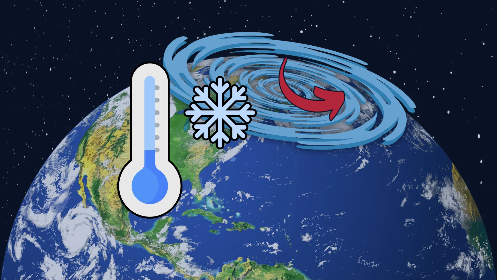
The polar vortex is an ever-present circulation of upper-level winds spiralling around the Arctic, strengthening in the winter and weakening in the summer.

When the polar vortex is strong and stable, this belt of winds keeps the season’s coldest air locked across the Far North. Occasionally, we’ll see the polar vortex’s circulation weaken and become unstable. This breakdown allows upper-level troughs to swoop southward and force cold air to spill toward lower latitudes.
A breakdown in the polar vortex usually occurs as the result of a disruption—and we’ve seen one of those disruptions over the past couple of weeks.
MUST SEE: Get an EXCLUSIVE look at hidden gems across Canada

The core of the polar vortex slid away from the North Pole toward Europe in the middle of March. This movement has allowed winds to shift, increasing the odds for cooler-than-normal temperatures to dive south into portions of Canada.
We’re already feeling this disruption’s influence across the Great Lakes region, where we’ve had several rounds of ice and snow over the past couple of weeks.
This pattern will continue for the next ten days, with cooler temperatures prevailing across Ontario and Quebec, while milder conditions will find a home across the Prairies and a large swath of British Columbia.