A direct strike from a major typhoon is possible on Guam

A tropical cyclone in the western Pacific Ocean may quickly intensify into a major storm before striking Guam early next week
Forecasters are on alert for a potentially high-impact typhoon landfall in the western Pacific Ocean early next week.
Tropical Storm Sinlaku is expected to rapidly intensify into a powerful typhoon as it tracks toward the densely populated island of Guam.
Based on current forecasts, this might be the island’s strongest landfall since 1976.
DON'T MISS: What’s the difference between hurricanes, typhoons, and cyclones?
Guam directly in Sinlaku’s path
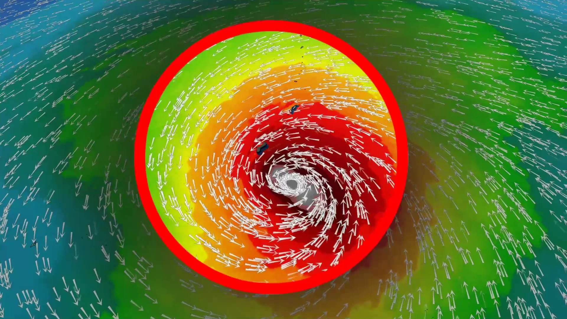
The Joint Typhoon Warning Center (JTWC) found Sinlaku rapidly getting its act together on Friday.

The storm had a classic appearance on satellite imagery through the day, with broad spiralling bands surrounding a dense core of thunderstorms at the centre of the system.
Favourable conditions and very warm water temperatures will help Sinlaku rapidly intensify this weekend into the equivalent of a major hurricane.
The JTWC’s official forecast brings the core of Sinlaku directly into Guam around Category 4 intensity with maximum sustained winds stronger than 200 km/h.

If this storm pans out, it would be the strongest storm to make a direct landfall on Guam since Typhoon Pamela hit the island at Category 4 intensity in 1976. Typhoon Mawar grazed the island at Category 4 strength in May 2023.
Guam is a U.S. territory in the western Pacific Ocean. Home to around 170,000 people, the island is home to several military bases, and its main airport serves as a critical hub for air travel in the region.