Treacherous travel as blowing snow, squalls hit parts of southern Ontario
Lake-effect snow continues to impede southern Ontario travel on Tuesday, with even more moving in by Wednesday with the next system. What will be more impactful is the frigid air mass locking in over the Great Lakes
After a snowy, blustery Monday in southern Ontario, resulting in numerous school closures and bus cancellations, the lake-effect machine will keep the snow and winds coming into Tuesday.
Some of the harder-hit areas could see an additional 10-20+of snowfall through Tuesday.
DON’T MISS: Second half of January looking much colder across Canada
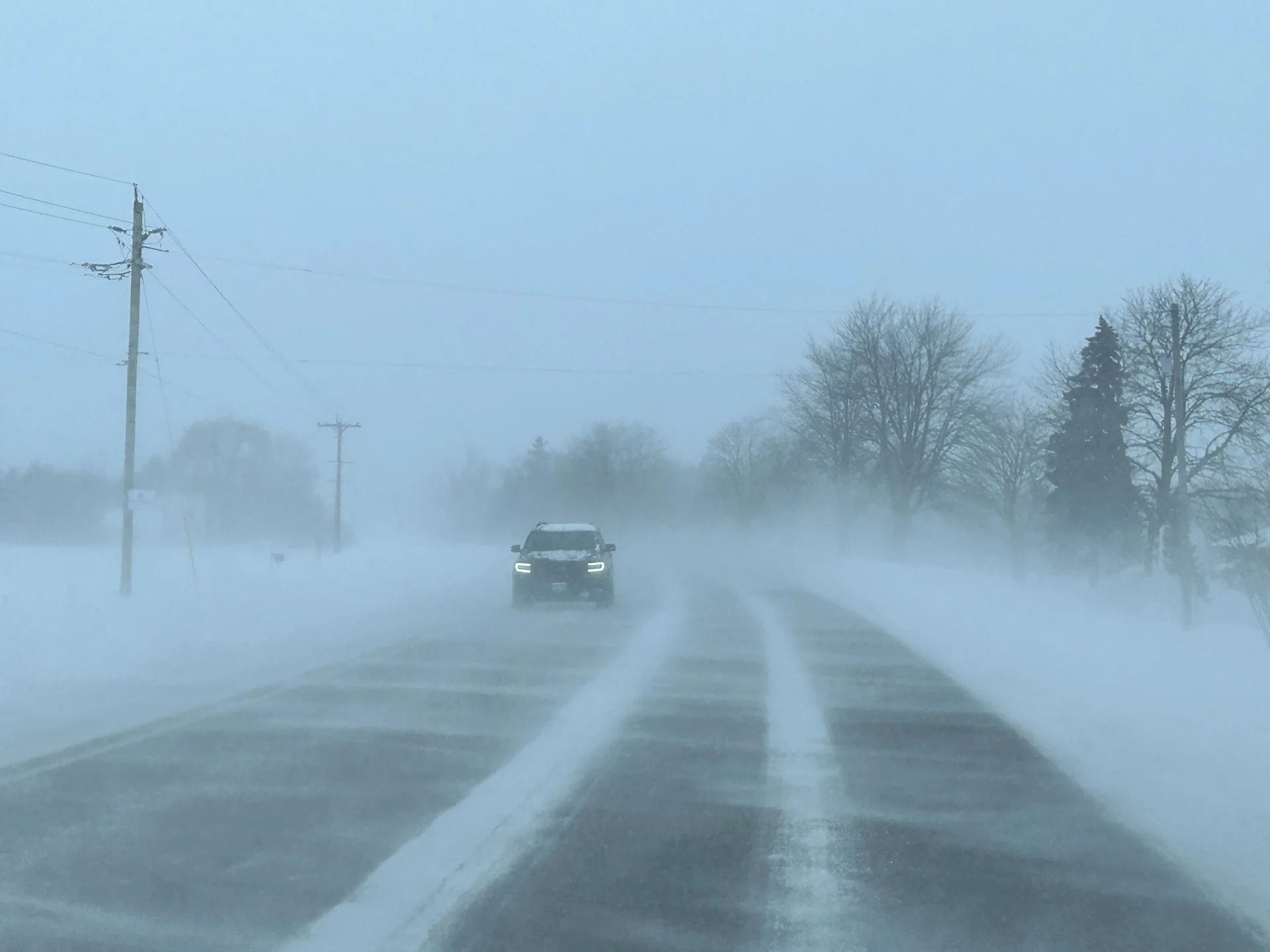
Travel will be dangerous into Tuesday, and likely impossible due to near-zero visibility. Additional road closures are possible.
Additional hazards are also anticipated. Dangerously cold temperatures are forecast across Ontario as Arctic air settles over the region by the weekend. In northern areas, lows could approach -40°C.
Blowing snow continues Tuesday, with another snow system arriving after
Northwesterly winds will align Monday overnight, forcing more organized, lake-effect snow bands to track from Lake Huron and Georgian Bay across parts of southern Ontario.

Winds to remain blustery with blowing and drifting snow, with gusts 40-60 km/h. Hazardous driving conditions still expected through the night.
SEE ALSO: Blue Monday: Tips for a healthy winter routine to help manage SAD

Blowing snow will persist into Tuesday, especially for communities along the shorelines of the Great Lakes, leading to a risk of hazardous travel and reduced visibility.
Some areas could see an additional 10-20+ cm of snowfall through Tuesday, mainly in the snowbelt regions.
Daytime highs will be even colder on Tuesday, with negative, double-digit highs in southern Ontario.

However, another system from the Prairies will bring widespread snowfall to southern Ontario midweek, with 5-10 cm expected in the Greater Toronto Area (GTA) and other areas through Thursday morning. Totals could exceed 10 cm in the snowbelt regions.
RELATED: When is the cold too cold? How extreme cold warnings are issued
By the weekend, frigid Arctic air will settle over the Great Lakes Basin. Daytime highs are forecast to remain in the minus teens for much of Ontario on Saturday.
WATCH: Tracking dangerous snow squalls across Ontario
Dangerous cold snap takes hold by the weekend

The cold snap will keep temperatures below seasonal averages through the rest of January. In Ottawa, overnight lows could dip to -21°C on Saturday, marking the city's coldest temperature in 10 years if the forecast holds.
Northern Ontario will see even more extreme conditions, with pockets of the region experiencing temperatures near -40°C during the peak of the cold snap. Northeastern Ontario can expect widespread temperatures close to -30°C during this period.