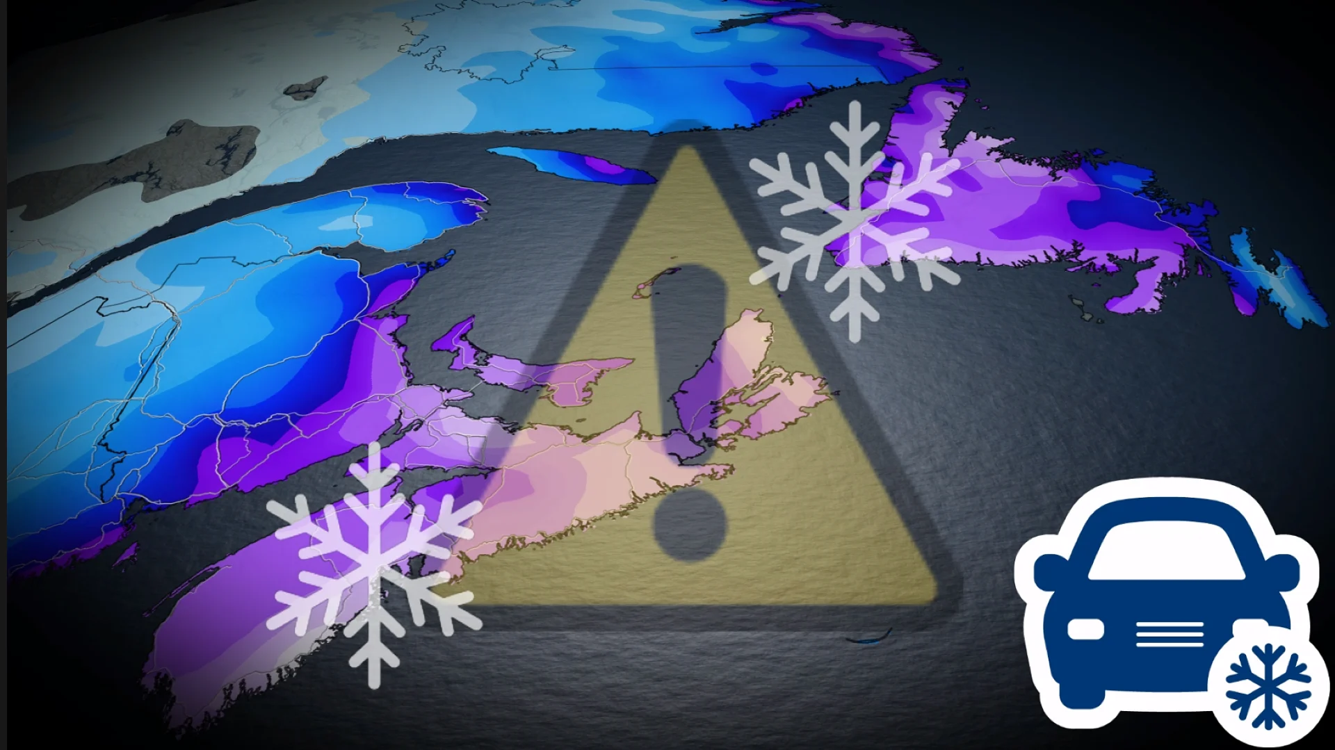
15-40 cm: Disruptive nor'easter to hit the East Coast with hefty snow, winds
Atlantic Canada has no shortage of snow recently, with one system exiting and a nor'easter to contend with on Monday--with substantial snowfall for some and blustery wind gusts. Expect widespread disruptions including closures and cancellations
While parts of Newfoundland deal with hazardous winter conditions on Sunday, eyes have also shifted to a nor'easter south of the border that will soon impact Atlantic Canada on Monday and Tuesday.
The nor'easter will be rather disruptive on both sides of the border, with blizzard warnings in the U.S. and winter storm alerts in the Maritimes. Nova Scotia, New Brunswick and P.E.I. will take the brunt of the storm, with 15-40 cm of snow expected and blustery winds, but Newfoundland won't escape its wrath (10-30 cm).
RELATED: Major U.S. winter storm will have Canadian ramifications. Here's where

Plan ahead as there will likely be travel disruptions, as well as school, flight and scheduled activity cancellations. Be sure to stay up-to-date on the forecast and current conditions when making any plans.
Blowing snow, gusty winds and hazardous travel continues Sunday in Newfoundland
A low-pressure system clipped the Avalon Peninsula and collided with a lingering trough off the north coast of Newfoundland into Sunday morning.
Whiteout conditions are forecast across the Avalon Peninsula into Sunday afternoon, with wind gusts reaching up to 100 km/h for the north shoreline. As much as 20-30 cm is expected across the east coastline of the Avalon.

"Avoid non-essential travel and outdoor activities. Prepare for disruptions to transportation, services and utilities," Environment and Climate Change Canada (ECCC) warns.
Nor'easter to kick off Monday
A strong nor'easter is developing off the United States East Coast and could reach the Maritime provinces by Monday afternoon. The rapidly strengthening storm is also forecast to reach 'weather bomb' status upon its approach.

The system has shifted farther to the north, increasing snowfall totals for Nova Scotia and New Brunswick. The system is also moving faster than originally forecast.
Heavy snowfall is expected Monday afternoon through Nova Scotia and in the evening for P.E.I.
Some models show snowfall rates high as 5 cm an hour for the eastern coastline of Nova Scotia through Monday afternoon. Parts of southern Nova Scotia can see anywhere between 30-40 cm of snow.

P.E.I. will get the heaviest snow on Monday evening.
Winds are expected to hit 90 km/h in exposed, coastal areas, so coastal flooding is a concern, too.
ECCC has already issued special weather statements, and yellow-coded winter storm warnings and watches for Nova Scotia, P.E.I. and parts of New Brunswick ahead of this storm.
"Travel will likely be challenging. Visibility will likely be suddenly reduced to near zero at times. Prepare for some disruptions to transportation, services, and utilities," ECCC says in the watch.

There could be school cancellations on Monday for some, but will be more likely be widespread on Tuesday. Also brace for power outages and flight cancellations.
In addition to rapidly accumulating snow, we could see conditions vary between whiteout and full-on blizzard through Monday evening, bringing dangerous travel to the evening commute. As well, due to strong winds, high floodwaters are expected.
DON'T MISS: Car stuck in a snow pile? Proceed with caution

As the storm leaves the Maritimes Tuesday morning, it will continue its track straight across Newfoundland with more impacts for the island. As the storm continues to bring 15-20 cm of snow and whiteout conditions, folks could see widespread school and bus cancellations Tuesday morning.
The snow is forecast to transition over to rain across the Avalon into Tuesday afternoon, bringing the risk of localized flooding as the rain eats away at the snowpack formed from the recent storms to move through the peninsula.
However, if the storm ends up tracking farther offshore than currently predicted, we could see additional heavy snow over the Avalon rather than the transition to rain. Forecasters will continue to watch for this over the coming days.
Stay with The Weather Network for more information and updates on your forecast across Atlantic Canada.