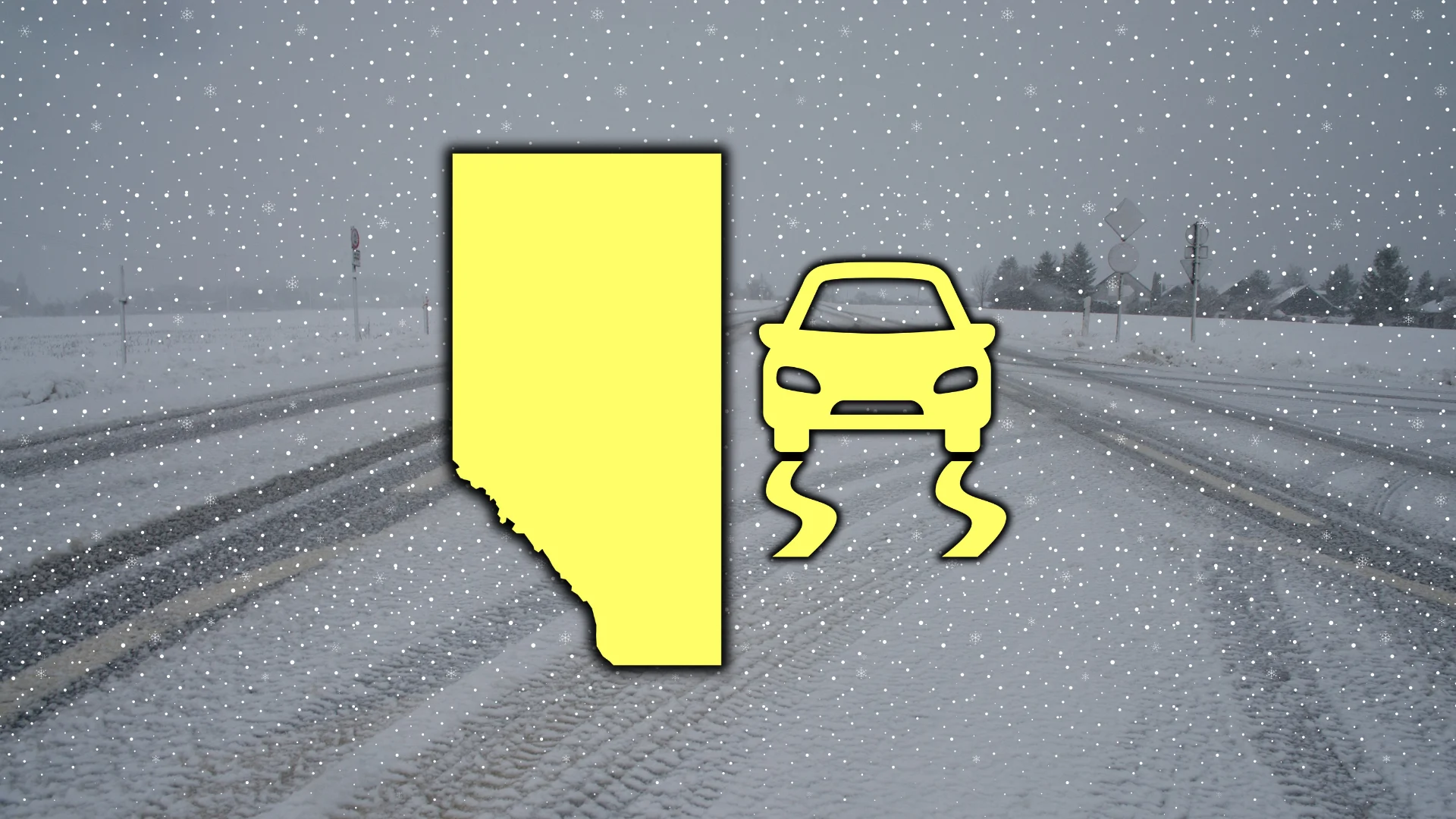
Up to 30 cm of snow for Alberta as Arctic winds arrive Friday
Expect difficult travel into Friday as periods of snow develop across Alberta
Expect significant snowfall across parts of Alberta on Friday as a potent cold front sags south across the province.
This round of wintry weather could bring Calgary its most significant blanket of snowfall since late last year.
DON’T MISS: Winter set to linger after Alberta's false start to Spring
Snow affects commutes into Friday
Reports of thundersnow popped up in the northern half of Alberta on Thursday as snowsqualls developed along the leading edge of the advancing cold front.

The combination of that boundary and upsloping winds will help give rise to widespread snow along the central foothills and southern Alberta into the day Friday.
Significant snow will affect the Rockies into Friday, including Highway 93 (the Icefields Parkway). Communities along the central foothills will see snow ranging in intensity from flurries to moderate snow through the day.

Folks around Calgary could see 5-10 cm of accumulation, with higher totals west of the city toward Banff and into the Rockies. Expect slower commuting times on both ends of your work and school day.
We’ll see around 15 cm of snow along the QE2 between Calgary and Red Deer, with 15-30+ cm expected into the mountains.
Snow will continue into Saturday morning across extreme southern portions of Alberta before the precipitation completely departs the region. Cold air will linger throughout the day, with temperatures in the minus double digits.
Calgary’s fallen behind on snowfall this season
This event could put a nice dent in the relative lack of snow we’ve seen across Calgary so far this season.

The last notable snowfall event reported at the Calgary Airport was 8 cm on Feb. 16-17. We haven’t seen a 10+ cm snowfall event at the airport since Nov. 24.
December, January, and February (to date) have all seen below-average snowfall so far in Calgary. If we get near 10 cm, it could bring the city up to its normal snow totals for the month of February.
Avalanche risk in the Rockies
The avalanche danger is high from the alpine through the treeline, and below the treeline, through Friday for Banff.
Kananaskis Country will also see a high avalanche danger through Friday.

Avalanche control can be expected for regions through the next few days, meaning areas could be closed due to scheduled control using explosives.
Stay with The Weather Network for all the latest on conditions across Alberta.