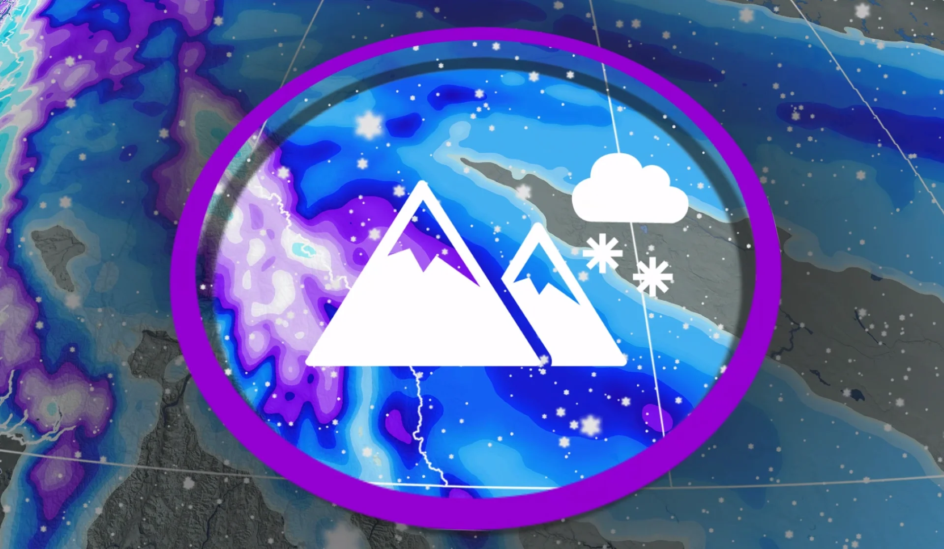
10-30+ cm of fresh Alberta snow possible as Arctic air plunges south
The next bouts of snowfall in Alberta will cause some difficult travel on Thursday and Friday, with some areas expected to see 10-30+ cm, accompanied by much chillier temperatures
Cold air from the Arctic will take a plunge south from northern Alberta, spreading into the rest of the province. The result will be more snowy weather, aside from the colder temperatures.
An upper-level trough and surface low will begin their descent across northern Alberta Thursday, bringing widespread snow for the next few days across the province.
DON’T MISS: Winter set to linger after Alberta's false start to Spring
Some areas could see 10-30+ cm of snowfall through Friday, so motorists should expect difficult travel during the event.
Fresh rounds of snowfall as Arctic air dives south
An Arctic front associated with the low and high pressure is forecast to drop south in behind. That will increase snow totals across southern regions and the foothill communities as easterly winds create upsloping snow.

Snow continues to spread across northern Alberta through Thursday.
A low-pressure system will sink south through to day, spreading colder air and snow southwards. A swath of 5-10 cm of snow is expected across far northern Alberta through the day.
On Friday, significant snowfall will impact the Rockies including Highway 93 (Icefields Parkway). Communities along the central foothills will receive a varying nature of precipitation rates, from scattered flurries to light-to-moderate snowfall through the day.

5-10 cm is forecast near Calgary, with higher totals west of the city towards Banff and into the Rockies. 15-30+ cm of snow is forecast into the mountains.
On Saturday, snow continues into the morning period across the extreme south before snow departs completely. Cold air fills the province for Saturday with temperatures into the negative double digits.

Avalanche risk in the Rockies
The avalanche danger is high from the alpine through the treeline, and below the treeline, through Thursday and Friday for Banff.
Kananaskis Country will also see a high avalanche danger through Friday.

Avalanche control can be expected for regions through the next few days, meaning areas could be closed due to scheduled control using explosives.
Stay with The Weather Network for all the latest on conditions across Alberta.