
10-20+ cm: Spring interrupted on the Prairies as significant snowfall returns
Potent, wintry weather is set to hit the Prairies. Expect a mix of 10-20+ cm of heavy snow and strong winds across Alberta, Saskatchewan and Manitoba, creating hazardous travel conditions.
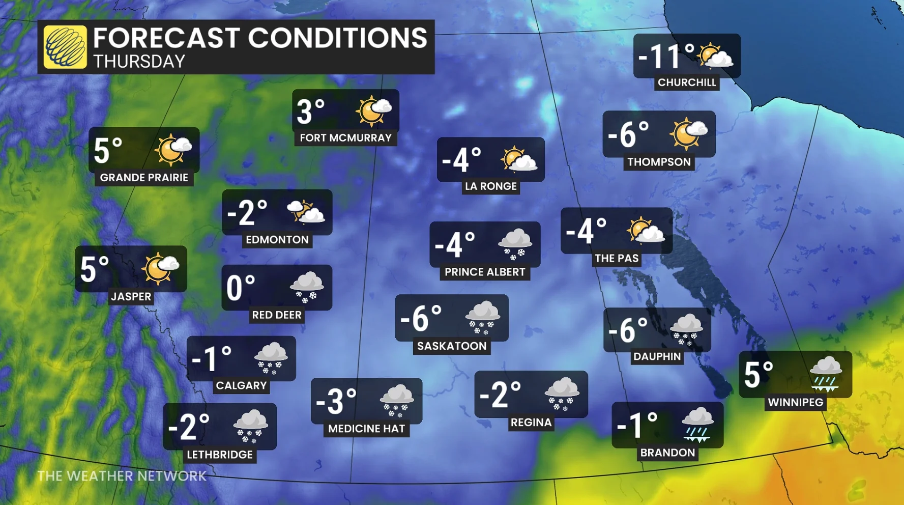
The Prairies are gearing up for a significant snowfall this week, despite it being mid-April. Two rounds of snow are expected across the Prairies through this week, with the second system bringing higher impacts.
Weather Highlights:
Snow begins across southern Alberta Wednesday evening, then pushing across Saskatchewan and Manitoba Thursday with heavy snow and strong winds
A large swath of 10-20+ cm of snow is forecast through Friday
Travel hazards with blowing snow and reduced visibility is likely
Snowy and messy conditions could disrupt Wednesday and Thursday commutes
DON'T MISS: Spring reality check: April snowfall is normal in Canada
The Prairies braces for more spring snow this week
The first of two systems will be a low tracking across the central and northern Prairies, spreading snow from Edmonton through Prince Albert, extending into central Manitoba through Wednesday.

A total of 5-15 cm is forecast for a narrow region of the central and northern Prairies. Blusterly winds on Wednesday, with gusts 30-50 km/h, are likely to cause some blowing and drifting snow.
RELATED: Canada’s snow season turns historic as multiple cities top 500 cm
The secondary system will be a developing low over Montana, in combination with high pressure sinking in from the north, expected to bring snowfall across central and southern Alberta on Wednesday evening and continue though the overnight.

A more organized band of snow is forecast to set up across southern parts of the three Prairie provinces through Thursday.
With some milder air nudging north along the international border, Regina to Brandon and Winnipeg could see some icy precipitation through Thursday morning, and then a transition to rain for communities in the extreme south.
Blustery winds are forecast with gusts 30-60 km/h at times.

Hazardous travel is forecast along the Trans-Canada Highway and Yellowhead Highway across Alberta, Saskatchewan and Manitoba through Thursday, with blowing and drifting snow causing reduced visibility.
Temperatures will quickly fall through Thursday so expect slick roads and slow travel.
A swath of 10-20+ cm of snow is likely, with local totals near 30 cm possible.
There is some uncertainty in the location of the heaviest snow but areas like Saskatoon could receive near 20 cm through Thursday.