Brand new satellite begins watching over Canada into the 2030s

GOES-19 will watch over the Americas and Atlantic Ocean for the next decade
Monday marked the beginning of a new era in the skies over much of Canada.
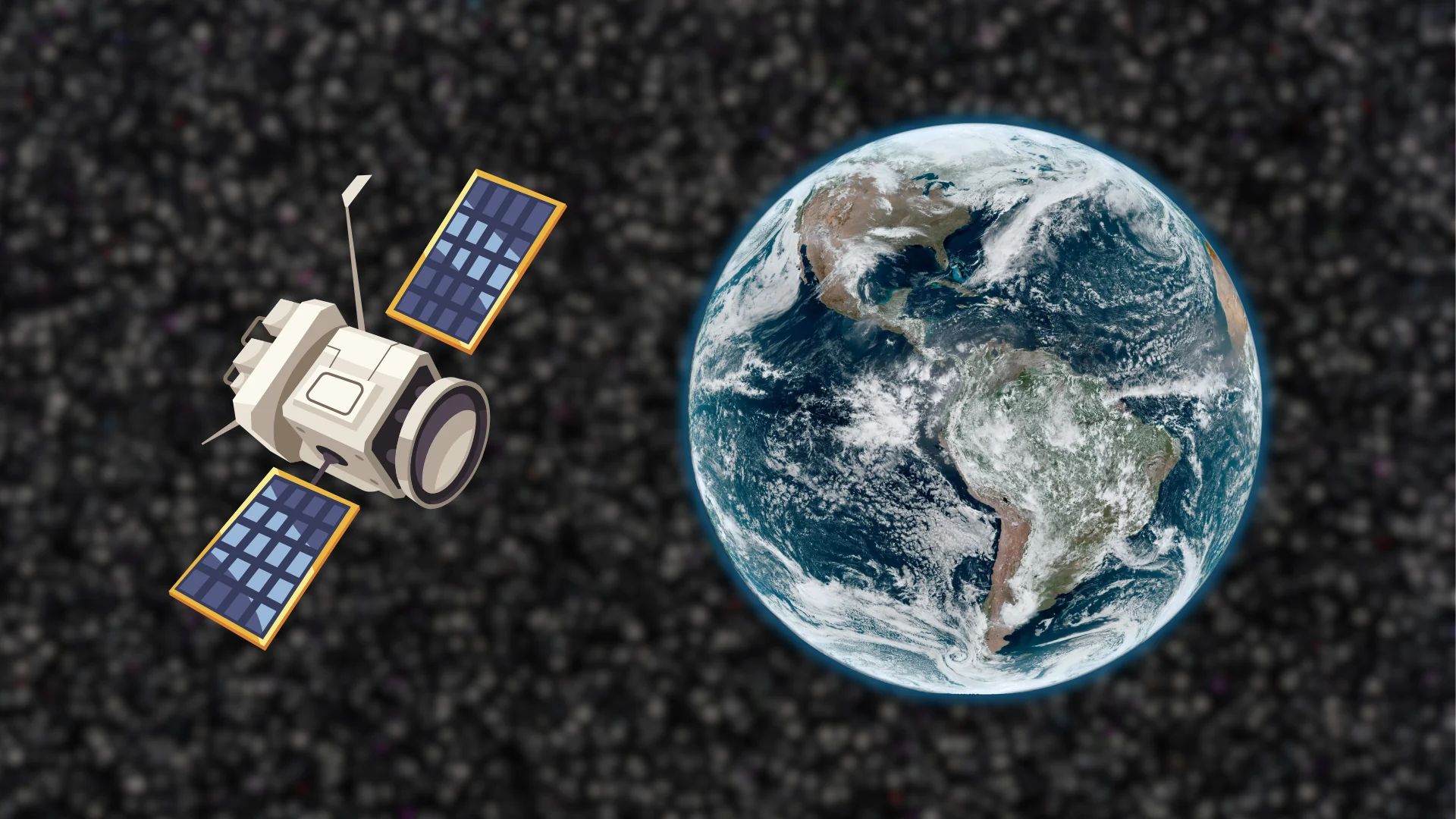
A new satellite called GOES-19 went into operational service on Monday morning, scanning our skies 24/7 to provide advanced warning of storms both near and far.
DON'T MISS: GOES-U blasts off to improve forecasts of Earth and space weather
A new satellite to watch over Canada
GOES-19 launched on June 25, 2024, and it reached orbit high above the equator about one month later. Scientists with NOAA have spent the past nine months testing the spacecraft and its instruments to make sure everything is in proper working order.
GOES-19 became operational at 11:10 a.m. EDT on Monday, April 7, 2025, at which point its name changed to GOES-East. NOAA expects the new satellite to provide continuous watch over the Americas and the Atlantic Ocean through the middle of the 2030s.
The previous satellite serving as GOES-East, called GOES-16, launched in 2016 and it stood guard over our half of the world since it entered operations in 2017. NOAA plans to send the nine-year-old satellite to a parking orbit where it’ll serve in standby mode in case it needs to fill in one day.
GOES-18 currently serves as GOES-West, keeping tabs on the western coasts of North and South America, as well as much of the Pacific Ocean.
A remarkable leap in technology
The GOES (Geostationary Operational Environmental Satellite) program began in 1975, marking the beginning of half a century of continuous observation of our planet from space.
These satellites embark on a geostationary orbit, which parks them directly above the equator at an altitude of about 35,786 km.
Orbiting at this precise altitude allows the satellite to travel at the same rate that Earth rotates on its axis, affording its instruments the exact same view of Earth for its entire lifespan.
GOES-East resides at 75.2°W, while GOES-West is located at 137.0°W.
WATCH: How GOES-East and GOES-West monitor our skies
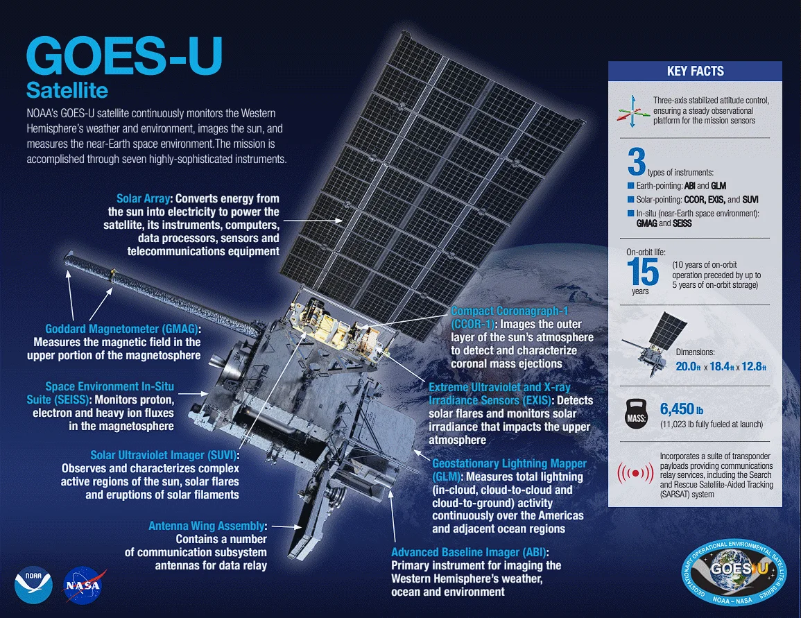
As the name suggests, GOES-19 is the 19th satellite in the GOES family to take flight, representing the last vehicle in the fifth generation of these satellites and their state-of-the-art suite of instruments.
The Advanced Baseline Imager (ABI) is the instrument that provides the visible, infrared, and water vapour imagery we see on a daily basis.

In addition to monitoring clouds, data collected by the ABI can determine sea surface temperatures, ice coverage, and even estimate wind speed and direction.
One of this series’ most exciting features is the Geostationary Lightning Mapper (GLM), which detects both in-cloud and cloud-to-ground lightning flashes.

This rich data helps meteorologists monitor and predict severe thunderstorm activity—especially outside of radar range—and it can help monitor the eyewall of hurricanes. Increased lightning activity within a hurricane’s eyewall can indicate strengthening.
The GLM can even see meteors entering the atmosphere.
GOES instruments don’t just monitor the planet itself. A bevy of sophisticated instruments also allow scientists to keep track of space weather, monitoring the Sun, solar winds, and changes in Earth’s geomagnetic field.
NOTE: NOAA pushed back the scheduled date of GOES-19's entry into service from April 4 to April 7 due to severe weather in the U.S. The article has been updated to reflect this change.