What does a hurricane's ‘cone of uncertainty’ mean?

This vital tool tells us important information about the potential track of a storm—but it also leaves out some key hazards
The Atlantic Ocean churns out more than a dozen tropical storms and hurricanes during an average season, several of which often threaten land.
These threats make hurricane forecasts a mainstay of coastal living during the summer and autumn months. The most striking feature in any forecast is the ubiquitous “cone of uncertainty.”
Here’s what the cone tells us about a storm’s future path—and the important information it leaves out.
DON'T MISS: The high-stakes factors that decide where a hurricane tracks
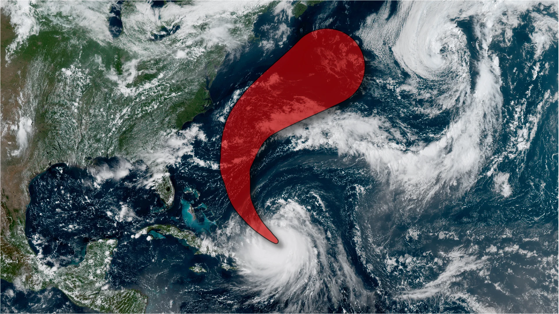
The cone of uncertainty represents the margin of error
The cone of uncertainty shows the probable track of the centre of a tropical cyclone. It’s essentially the margin of error in a storm’s official track forecast.

Cones begin at the storm's current location and extend along the forecast track five days into the future. Historically, the centre of the storm stays somewhere within the cone of uncertainty about two-thirds of the time, while it strays beyond the cone the other one-third of the time.
It’s important for coastal residents to pay attention to the cone of uncertainty when a storm tracks close to land. Even if the centre of the storm is forecast to remain offshore, errors can and sometimes do happen, and it’s possible for a storm to deviate from its expected course.
Errors have decreased dramatically in recent years
Predicting the future path of hurricanes is a complex balancing act. Every storm is pushed and pulled around the ocean by other weather systems in the region.
Due to these complexities, some track forecasts are more accurate than others. At the end of each season, the U.S. National Hurricane Center (NHC) combs through every forecast to calculate their own accuracy.

RELATED: Hurricane forecasts are better today than ever before—here’s how
These calculations result in an average margin of error at each timestep in the forecast—12 hours out, 24 hours out, and so on. Error naturally increases with time.
Each margin of error is plotted on the map as a circle around the forecast point. These circles are then linked together by the cone of uncertainty.

The cone of uncertainty has shrunk considerably over the past couple of decades—a reflection of the major improvements made in forecasting. A five-day forecast improved nearly 40 per cent between 2007 and 2021, with even greater improvements since then.
The cone of uncertainty has its downfalls
Cones of uncertainty command a significant amount of attention in hurricane forecasts, but they don’t tell the whole story.
These features only apply to the path of the very centre of the storm. Damaging winds, flooding rains, destructive storm surge, and tornadoes can extend hundreds of kilometres from the centre of the system. The cone doesn’t account for the extent of these hazards.
A cone also doesn’t account for a storm’s speed. Timing is a critical component of any forecast—if a storm speeds up or slows down, it may remain within the cone of uncertainty, but coastal communities could be caught off-guard anyway.
The cone also doesn’t factor in a tropical storm or hurricane’s intensity. Rapid intensification is a serious hazard when a system is close to land, and the phenomenon can be difficult for forecasters to predict in advance.