Changes halfway around the world can affect your city’s weather

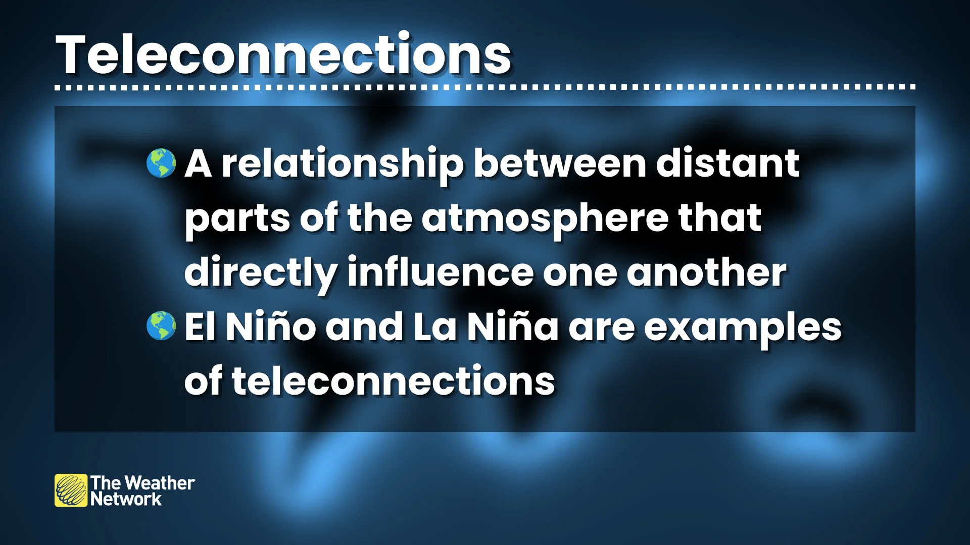
Teleconnections in our atmosphere allow conditions in one part of the world to affect weather patterns thousands of kilometres away
We’ve all heard the saying that a butterfly flapping its wings can unleash a raging storm a thousand kilometres away.
One little butterfly won’t change the weather, of course. But what if relatively small changes in one area really did start a ripple that unfolded into a huge pattern flip halfway around the world?
Faraway conditions can have a significant impact on your weather here at home. Meteorologists investigate these connections to gather insights for your long-range forecast.
DON’T MISS: What is the polar vortex? How it’s responsible for dangerous cold
A critical puzzle piece
A telephone allows you to talk to someone over great distances. A teleconnection allows the atmosphere to influence weather over great distances.
Weather is the end result of nature striving to keep itself in balance amid a planet of extremes. Low pressure in one region begets high pressure in another. Unusually warm temperatures often complement unusually chilly temperatures somewhere else.
These seesawing changes can trigger predictable shifts in global weather patterns.
Just about everything in our atmosphere is connected—and teleconnections represent a critical link between patterns in one region and the global ripple effects they can unleash.
El Niño and La Niña are the most famous teleconnections
Back in the early 20th century, a British physicist named Gilbert Walker noticed a striking rhythm while studying climate data. He recognized that air pressure patterns in South America and Australia were related to one another—when air pressure increased over South America, it tended to decrease over Australia.
He dubbed this pattern the Southern Oscillation, a phenomenon we know today as the groundwork upon which El Niño and La Niña develop across the Pacific Ocean. This is the ultimate example of a teleconnection and how these patterns can influence our weather at home.

When air pressure increases over Australia and decreases over South America, easterly trade winds will slow down or reverse direction, allowing ocean waters to warm near South America. This can lead to an El Niño event. If the air pressure difference reverses, trade winds will strengthen and force cold water from deep in the ocean to rise to the surface, bringing about a La Niña event.
But El Niño and La Niña are far from the only teleconnections in town.
North Atlantic Oscillation (NAO)
Meteorologists track another important teleconnection known as the North Atlantic Oscillation (NAO).
The NAO accounts for the difference in air pressure between the Azores High and Icelandic Low, two ever-present features over the eastern Atlantic Ocean.
Forecasters monitor these changes using the terms “positive phase” and “negative phase.”

When the NAO enters a positive phase, the Icelandic Low and Azores High both strengthen. During the cooler months, this strengthening allows the jet stream to smooth out, fostering a period of calmer weather that can bring above-seasonal temperatures to Eastern Canada and the U.S. East Coast.
When the NAO falls into a negative phase, however, both the high pressure and low pressure over the eastern Atlantic Ocean weaken. This change forces the jet stream to become active and wavy.
Folks who love a big East Coast snowstorm in the winter and spring root for the waning days of a strongly negative NAO. This pattern is favourable for below-seasonal temperatures, and the shifting pattern can allow an active storm track to build across the region.
Arctic Oscillation (AO)
It’s tough to trudge through a Canadian winter without hearing about the polar vortex, that circulation surrounding the Arctic that occasionally sends bouts of frigid temperatures surging southward.
The Arctic Oscillation (AO) is another teleconnection that can serve as a good proxy for keeping track of the polar vortex. The AO tracks changes in the mid-levels of the atmosphere between the Arctic and the tropics.
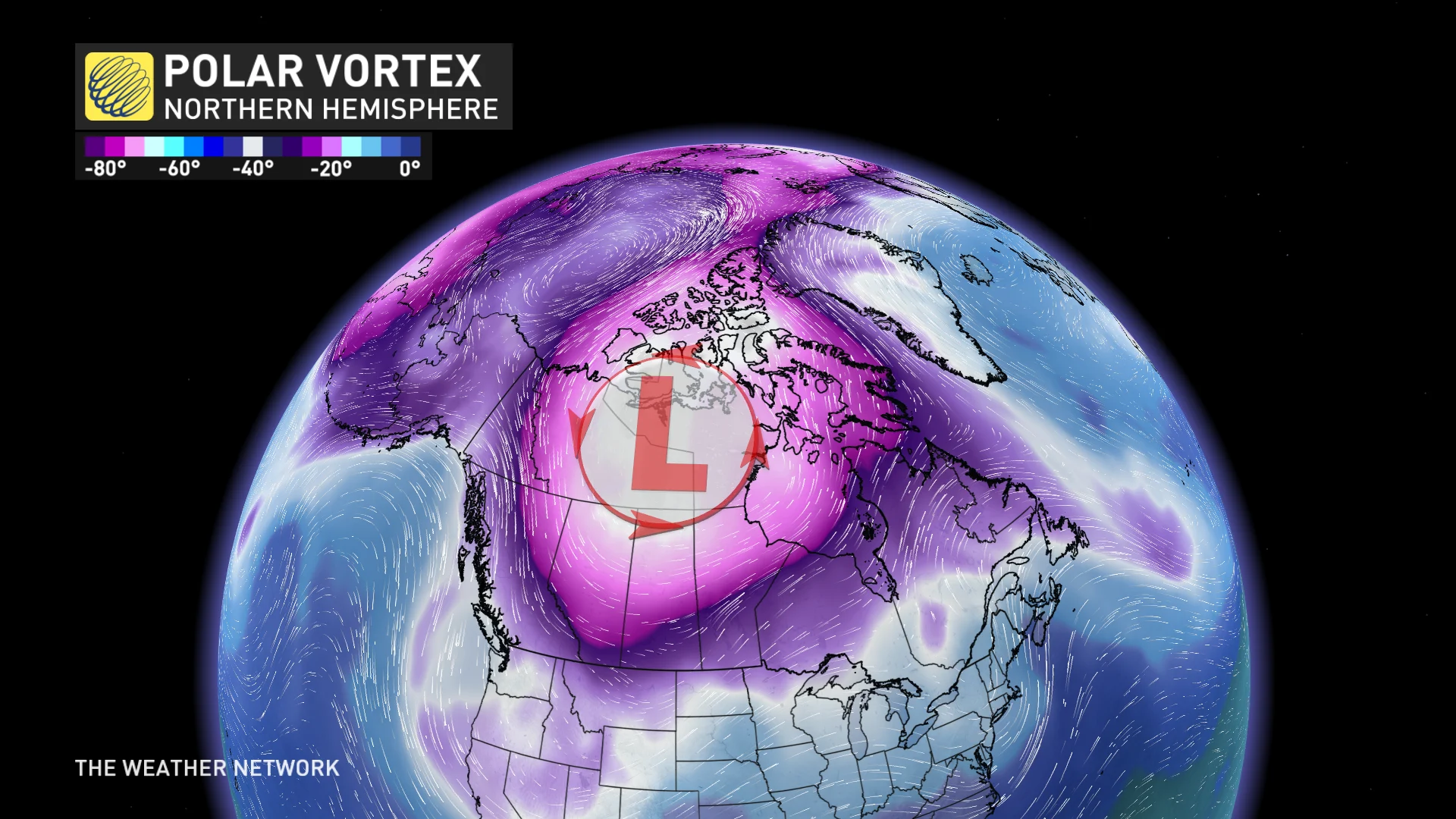
The polar vortex is generally strong and sturdy when we’re in a positive phase of the AO. This means that the polar vortex is ‘smooth,’ keeping winter’s bitterest temperatures locked away in the Far North.
When the AO turns toward a negative phase, however, it means that the polar vortex is weaker than normal. This can force that circulation of winds to become unstable and wavy, often sending frigid air flooding toward the lower latitudes.