Streaks in the sky: Ontario sees prolonged contrail activity

Notice some cloudy streaks in the sky? Ontario’s atmosphere was primed on Tuesday for long-lasting contrails. We break down the reasons why
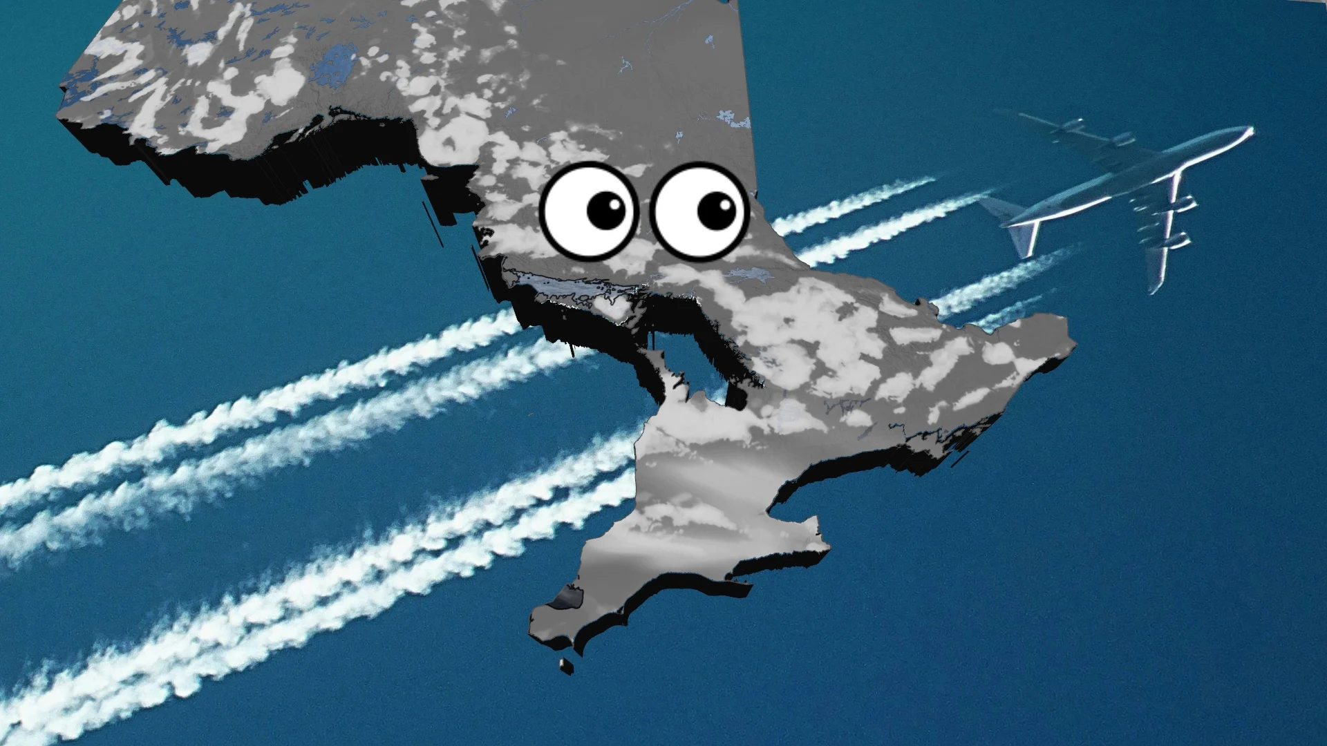
If you took a gander at the sky on Tuesday in southern Ontario, you will have noticed some different kind of clouds that you don't see every day.
Aside from the pleasant appearance of the sunshine and clouds--and airplanes--there was also some contrails stretched across the sky.
DON'T MISS: Is hacking the atmosphere a 'cool' idea to offset global warming?
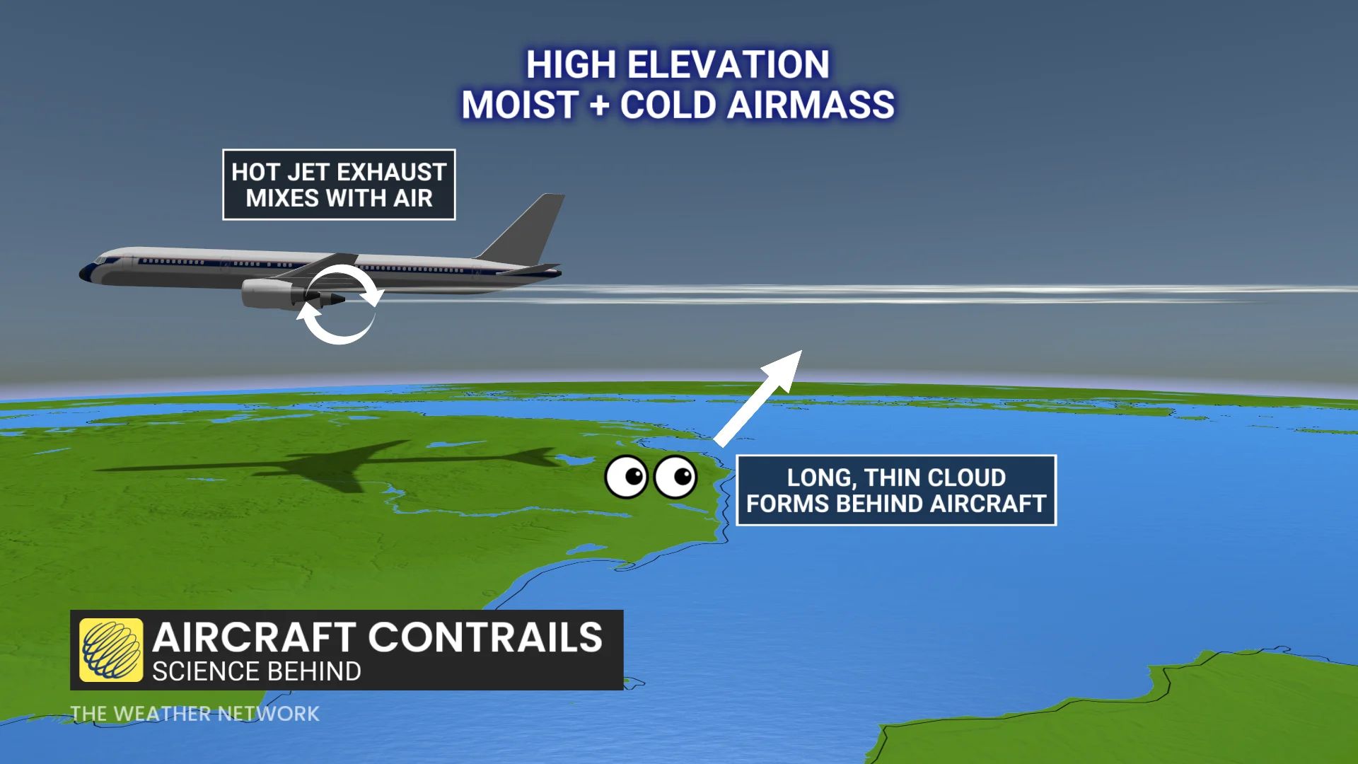
Passenger planes flying at cruising altitude are exposed to bitterly cold temperatures that can routinely push -40°C. If temperature and humidity levels are just right, the plane’s warm, moist engine exhaust can instantly condense into a cloud behind the plane.

The condensation trails, or contrails for short, are formed in the wake of an aircraft flying.
They form as hot jet fuel dispersed from the airplane mixes with cold, moist, high-elevation air droplets condense and form very long, thin clouds in the turbulent air left behind.
An incoming storm provided ample moisture in the upper atmosphere.
As air traffic moved through it, the long, thin contrails were seen across the province. The higher moisture content in the upper atmosphere allows the contrails to last longer in the sky.
Drier-environment contrails can form but will evaporate and dissipate quickly.
Sault Ste. Marie, Ont., airport documented contrails for several hours on meteorological aerodrome report (METAR) observations.
These milky skies are prime conditions for sun dogs and other photogenic halos that can appear around the sun.
WATCH: Science behind contrails: Why planes leave streaks across the sky
With files from Rachel Modestino, a meteorologist at The Weather Network, and Dennis Mersereau, a digital journalist and weather specialist at The Weather Network.