Do the warm Great Lakes mean lots of snow this winter?

Warm Great Lake waters can bring major lake effect snowfall once the seasons change and air temperatures drop. But as The Weather Network meteorologist Mark Robinson explains, water temperatures are not the best predictors.
There was far less screaming when I landed in the water of Lake Huron this summer. I mean from me, mostly. Given that the water off Sauble Beach is usually of the Arctic kind, it was shocking to feel temperatures that are more associated with coral reefs and the Florida Keys.
And it meant that I didn’t have to wear a wetsuit to go swimming.
Ok, yes, I’m a bit of a wimp when it comes to cold water, but this summer, all of the Great Lakes were further into the enjoyable range than the opposite.
Now that the weather around the Great Lakes is cooling and autumn is knocking at the door, the big question for me becomes (especially given the spectacular amounts of snow that buried Gravenhurst last year), do warm lakes mean lots of snow?
RELATED: Three reasons why you could see an early-fall snow in Canada
It might seem that warm water automatically means epic snow because snow squalls require lots of relatively warm water, but, as with so many things meteorological, it’s not that simple—and just because everything is warm now, it doesn’t mean that we’re all going to need to order industrial-sized snow blowers to clear the driveway.

First, we have to take a quick look at how snow squalls work.
Snow squalls happen when a cold, below-freezing air mass sweeps in from the north or west and over the relatively warm waters of the lakes. That air picks up moisture off the surface of the water and then dumps it downstream of the lake in the form of snow if the air is below freezing and rain if it’s not. To be a bit more specific, there needs to be at least a 13-degree difference between the surface lake temperature and the air at about a kilometre and a half up. There are a few more factors involved, but for now, I want to stick with temperatures because this is where the simple narrative of warm lakes in summer = lots of snow in winter, breaks down.

Visit our Complete Guide to Fall 2025 for an in depth look at the Fall Forecast, tips to plan for it and much more!
There are a number of problems of simply equating warm summer waters with snowfall, and the most important one is the rapid cooling and warming of the surface water of the lakes depending on the weather.
Looking at a graph of the average temperature of Lake Erie (see below), note the orange line; that’s the 2025 temperature of the lake. Starting around June, the temperature is well above average right through August, and then it suddenly drops to well below average in late August.

(Courtesy of NOAA)
That dip corresponds exactly to a period of below-seasonal air temperatures that locked in over Ontario and made the beginning of September feel like fall had arrived way earlier than anyone was prepared for.
However, even that cold wasn’t deep enough to produce air temperatures below zero, and if we’re talking about the southerly lakes (Huron, Erie, and Ontario—the ones that have the biggest impact on the densely populated areas of southern Ontario, New York, etc.), air cold enough to produce frozen precipitation doesn’t usually arrive until late November or December. We can get lake effect showers though, but that doesn’t usually bog traffic down on the 400.
This means that summer water temperatures aren’t all that important, but late October and November temperatures are. Unfortunately, it’s near impossible to get a good handle on what those temperatures are going to be in early fall.
WATCH: Why snow squalls are one of the hardest weather events to forecast
One of the difficulties of getting a good reading on the water temperature of the lakes is directly tied into how we measure. The Great Lakes are enormous bodies of water, and getting a handle on the overall temperature is difficult without deep submersible thermometers, so the measurements are usually taken at the surface. That means that we’re getting a good idea of how the upper layer of the lakes is being affected by the air, but not so much in the lower layers.

Now, lucky for us, the lower layers don’t change much or very fast and generally sit closer to freezing than to the temperatures of the coral-growing depths of the Florida Keys.
This means that the water we’re measuring can be easily turned over with a couple of good storms or just windy days, and all that warm water is suddenly gone. Changing the water temperature of an entire Great Lake happens on the scale of years, not days. So, while climate change is absolutely slowly raising the temperature of the lakes, it doesn’t have that much effect year to year.
Finally, we turn to the other big component of snow squalls: the cold air masses that sweep in over the lakes in the late fall. If you thought getting a handle on water temperature was tough, it’s nothing compared to predicting when we’ll see air cold enough to set off the snow squalls. We can give a general time of November and December, but that’s about it.
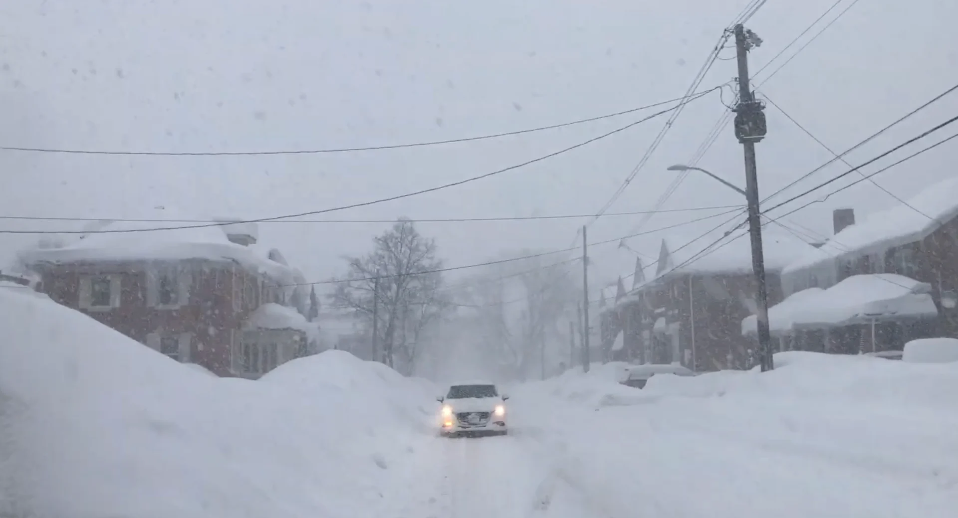
In addition, to get a high-impact event, we need the wind to “lock in” for an extended period of time. In other words, the cold winds from the north have to keep up for a long time over the open waters of the lakes. Given the right circumstances, the squalls can pile up literal metres of snow; the best recent example would be the 110 cm of snow that fell in Gravenhurst over a few days last winter.
However, we simply can’t predict when and how strong these events will be more than about 10 days out, and even then, subtleties within the air flow can make a huge difference in who and how hard places get hit.
The bottom line is simply this: we can’t take the overall warmth of the lakes in the summer as a big indicator of how bad the squall season is going to be. However, we can say that if the late fall is overall warmer than average, we are more likely to see an above-average snow squall season.
Patience is going to be key, but preparation is always good. Take the time now, while things are still warm, to check out the snowblower, buy a new shovel, and prepare the hot chocolate.
It might not seem like it right now, but winter is coming.