Toronto's decades-long flood protection project faces spring test

The Port Lands Flood Protection Project is almost complete, and spring 2025 will be its first test.
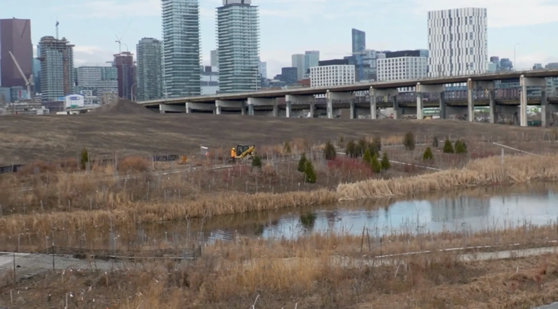
Toronto is no stranger to construction and flooding. Now, after decades of construction, the Port Lands Flood Protection Project is coming to an end, and hopefully, so is the city's annual flooding.
The Port Lands Flood Protection Project aims to reconnect the Don River with Lake Ontario.
DON'T MISS: Get to know the hidden gems across Canada
"By adding that extra capacity, that extra room for the river to flow into Lake Ontario, the water levels in the Don River will be lower during flood events, and that will help all the lands around the area," says David Kellershohn, the Associate Director of Engineering Services at the Toronto and Region Conservation Authority.

The Don Valley Parkway when it flooded in July 2013. (TWN)
The purpose of this $1.4 billion project is to reduce the Port Lands floodplain, allowing for development and re-naturalization of the Don River. This will not only make the river more enjoyable for residents by adding elements such as a public park and bike lanes, but it will also strengthen the ecosystem, as over half of the space will be dedicated to nature.
The project has been no easy task, however. Kellershohn says over two million cubic meters of soil had to be moved and treated for contamination. This endeavor alone took years to accomplish.
Now, in 2025, the project is finally coming to a close, with this spring set to be its first big test.
"It would be really hard to flood this new project," says Kellershohn. "It's designed for a storm event a little bit larger than Hurricane Hazel, which is the biggest storm we've ever experienced."
Copy edits made by Anika Beaudry, a digital journalist at The Weather Network.