Climate change is increasing landslide risk. Canadian tech has a solution

A new tool is giving experts a way to better understand and predict dangerous landslides and debris flows, as climate change and wildfire activity raise the risks for communities living near steep slopes. The Weather Network's Connor O'Donovan reports.
From massive wildfires burning hot enough to leave water-resistant slopes in their wake to heavy rainfall events intense enough to loosen soil, vegetation and rock, there are numerous ways the forces of nature can increase the risk of landslides.
What’s more, Public Safety Canada notes the risk of landslides as a secondary hazard of wildfires and intense rainfall is only set to rise as a result of climate change.
While the cost of landslides to life, property, infrastructure, and natural resources can be extreme, an Alberta-based company has developed software it believes can mitigate some of this risk.

Estimated annual cost of landslides in Canada, according to Natural Resources Canada. (Graphic: The Weather Network/Natural Resources Canada)
SEE ALSO: 'Surprise' landslide was actually months in the making
Richard Guthrie, director of Geohazards at Stantec and a lead developer of its “DebrisFlow Predictor” software, which can be used to model landslide risk in disaster-prone areas around the world.
He explains, for example, that the probability of a type of landslide known as a “debris flow” can go up “50 to a few hundred times” after a wildfire, citing California and Colorado as regions where such development has been observed.
Debris flows are a type of landslide characterized by fast-moving mixtures of water, soil, vegetation, and rock that behave in a manner similar to viscous liquids.
They’re typically triggered by heavy rainfall, and their risk is unique among landslides in that they can travel great distances and pose hazards far away from the initiation point of the slide. The slide will usually travel until it meets a flatter area like alluvial fans—where humans build, work, and play.
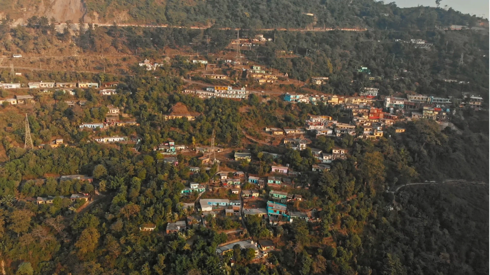
Roughly a third of the world lives in or adjacent to steeply sloped environments. (Stock image)
“One of the changes that occurs during a wildfire is that the soil and vegetation can burn quite severely to get what’s called a ‘hydrophobic’ layer over top of the soil,” Guthrie says.
“So a drop of rain, instead of going into the soil, just runs over top until it accumulates in a gully or rail in the landscape. When it gets thick enough, it’ll break through and often cause a debris flow.”
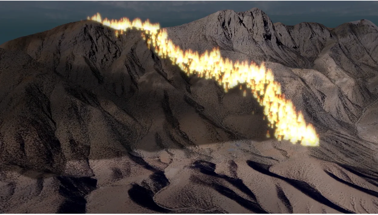
Severe burning during wildfires can harden top layers of soil and vegetation to the point they become more impermeable to water. (Stantec/provided)
Guthrie adds that regardless of whether or not an area has been struck by wildfire, heavy rain can grow debris flows exponentially. An example is the atmospheric river-triggered disaster that hit BC in November of 2021, Guthrie says, where debris flow landslides destroyed roads and at least one home.
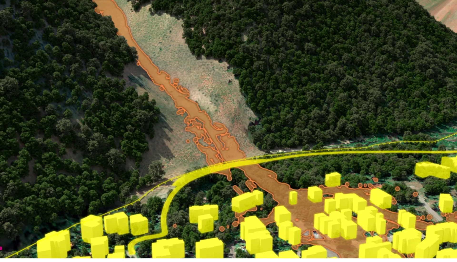
“What we’ve done (with DebrisFlow Predictor) is develop a run-out model that allows us to genuinely predict a variety of possible outcomes,” says Guthrie.
"We're able to reliably predict how far the runoff is going to be, how deep it's going to be along the path. And how much damage it's likely to do.”

(Stantec/provided)
The tool allows users to select a geographic area on a world map, combine that with elevation data, and model multiple debris flow scenarios in that area, accounting for changeable slope conditions, including post-wildfire.
Once community leaders are acutely aware of the risks local landslides pose, Guthrie says, they can work towards mitigating risk by making efforts to build barriers or ditches to direct or collect debris, or by building away from potential flow paths.
WATCH BELOW: Landslides can happen anywhere in Canada and they're on the rise
(Header image courtesy of Stantec)